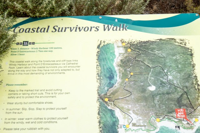
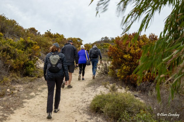
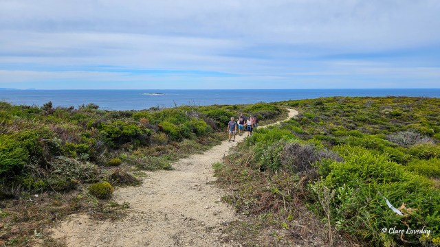
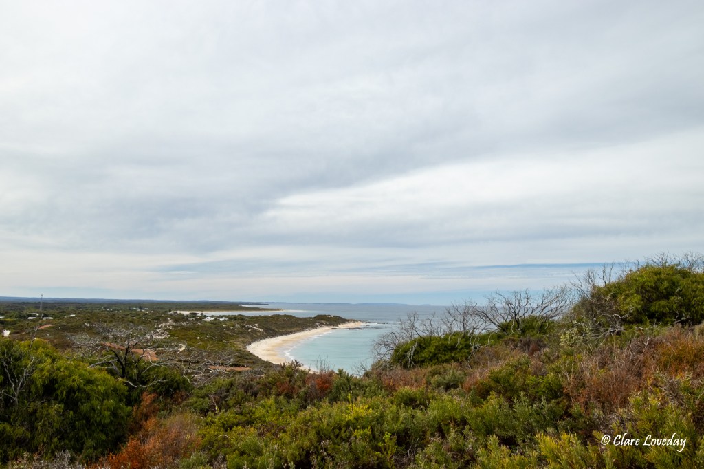
The plan for today was to do the Coastal Survivors Walk a 2.7 km walk (one-way) which started at Windy Harbour and ended at Point D’Entrecasteaux. The walk traversed along the coast and cliff area through scrub on a well-defined track with information signs along the way describing the various “coastal survivors” that make up the area.
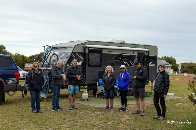
We headed out at about 1000hrs – Klaus was feeling a little under the weather so opted to stay in camp and possibly meet the group at the lighthouse carpark at Point D’Entrecasteaux.


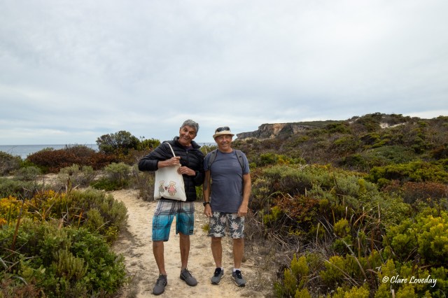
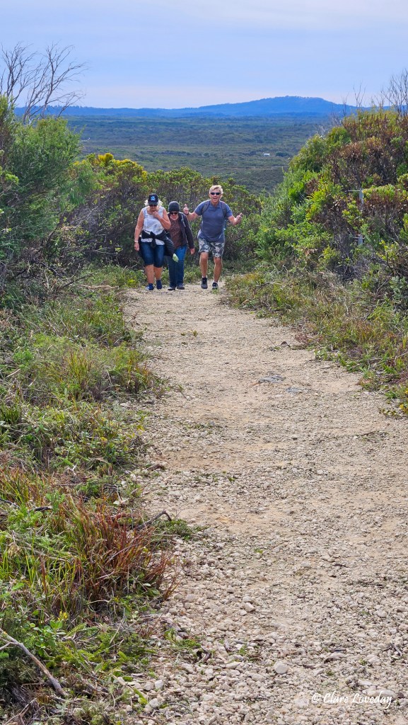
Gordie brought his best teddy satchel and Trev looked the part with his bucket hat…

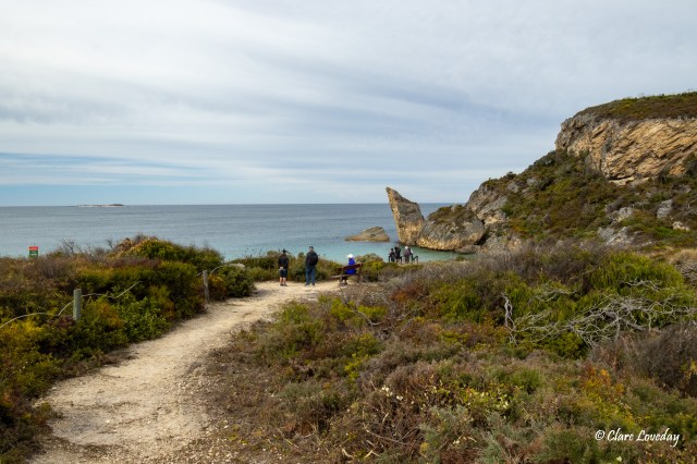
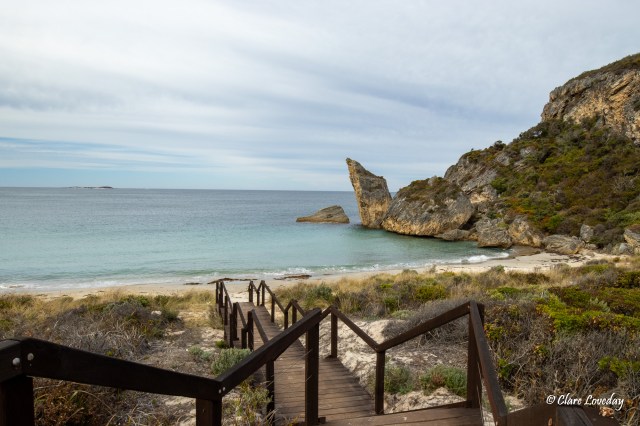
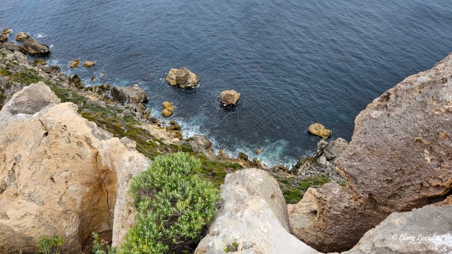
Cathedral Rock came into view -it reminded some of the rocks in Thailand – jutting out of the turquoise waters which were quite still today – not much swell or wind… The rock itself juts 50m above the ocean. The cliffs were formed by sand grains of old dunes being cemented together with calcium carbonate (lime from shells and bones) as they become wet and dry alternately. At sea level the wave action is constantly undermining Cathedral Rock threatening to crumble it into the water.

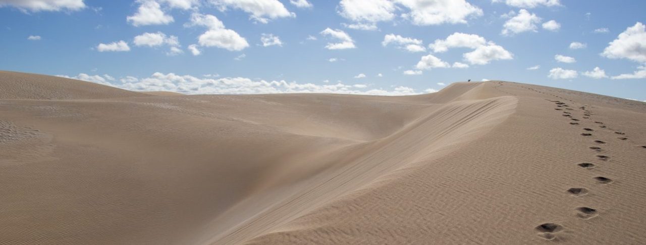
Marram grass and native spinifex growing in the dunes can survive the “sandblasting” from the strong salt-laden winds….

Away from the beach the sand is more stable thus allowing larger shrubs and trees to grow. The coastal wattle stabilises the sand and allows fragile seedlings of other plants to grow. Jarrah and Marri trees also grow here – they can grow to a height of 30 m but here they rarely grow higher than 3m due to the salt winds and limestone rocks hindering root growth.
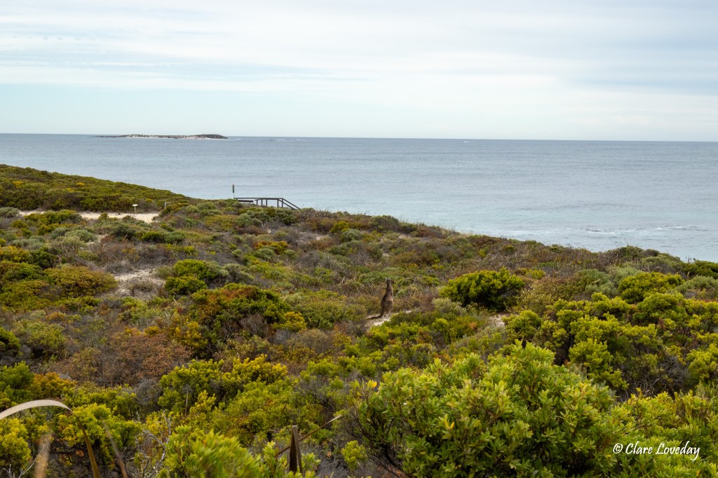
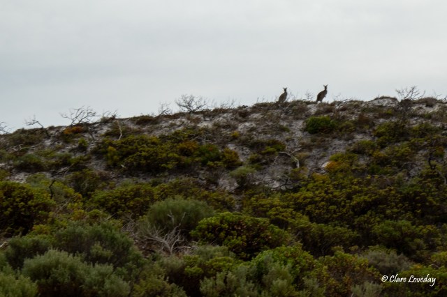
Bronzewing Pigeons and Splendid Fairy Wrens inhabit the area as do Hooded Plovers. Kangaroos, Quokkas and Mardos can also be seen….

Frogs such as the Banjo Frog can be heard at night. The water table is high in this area being only 50-60 cm below the surface and plants shading the small wetland areas reduce evaporation.
The local indigenous tribe are the Noongar people.
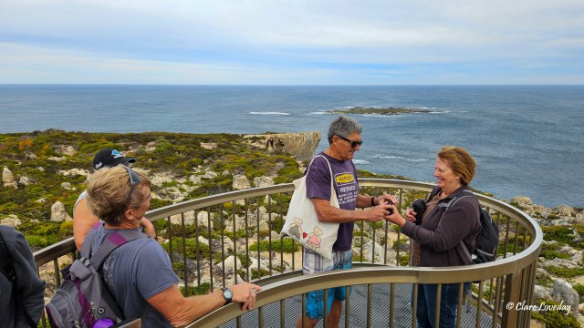
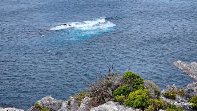
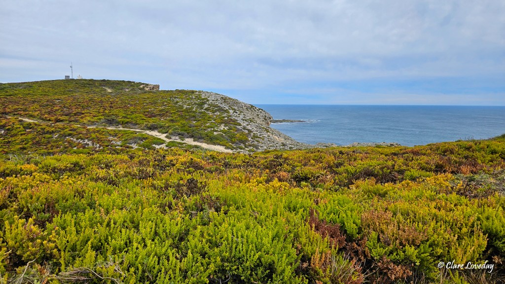
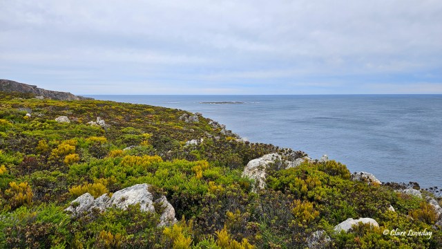
We stopped at various lookout points to admire the spectacular coastal scenery.


The erosion in the limestone rocks created some interesting rock formations such as a “natural window”.
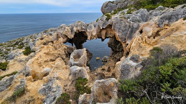
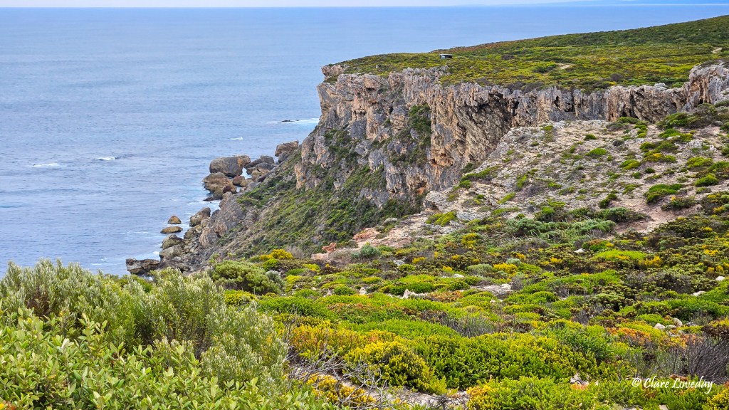
The cliff areas were very crumbly and warnings were well signposted…
Gordie had to persuade Beryl he was OK to take her pic…


When we arrived at Point D’Entrecasteaux Klaus was on his way to Salmon Beach…. Realising his error in direction he turned around and arrived shortly at the carpark near the lighthouse.


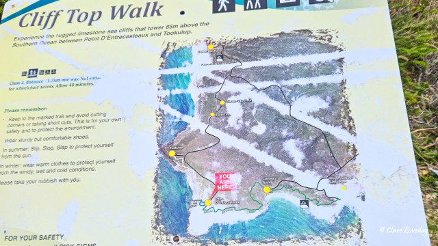
After taking some more pics Matt, Sharon, Trev, Gordon and I decided to continue on and do the Cliff Top Walk to Tookulup lookout. Dave and Rose went back to camp while Klaus drove Beryl and Kerry to Tookulup carpark to meet us there.

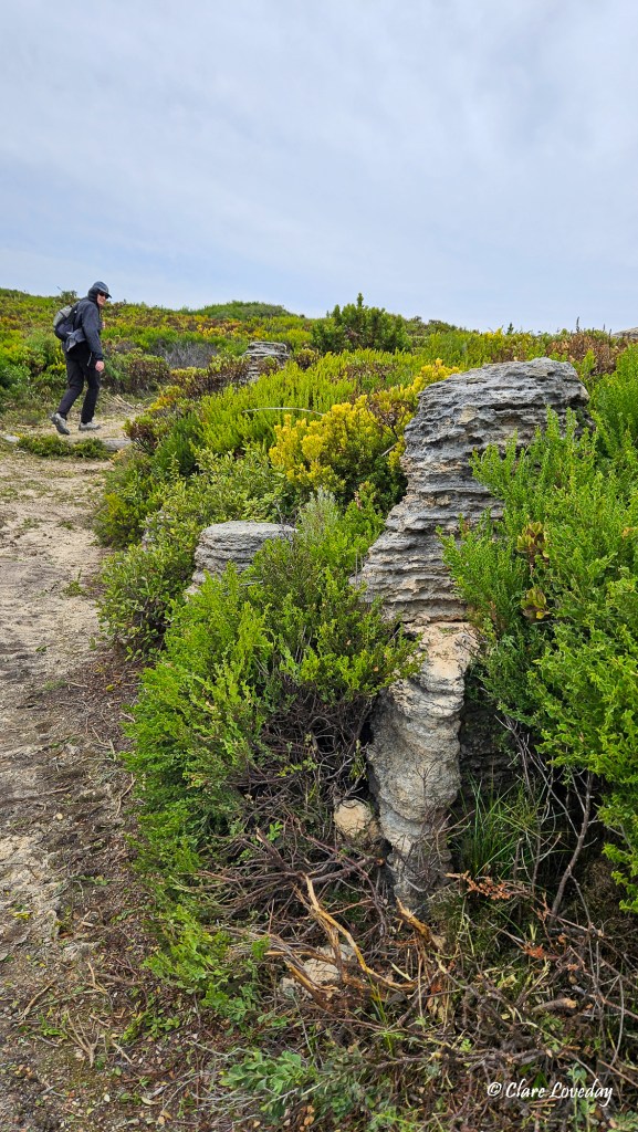
It was well worth the walk as the cliff views were awesome – crumbly limestone cliffs with unique formations – even small outcrops along the path reminiscent of the Bungle Bungle formations in miniature!


The view west from Tookulup was beautifully wild….
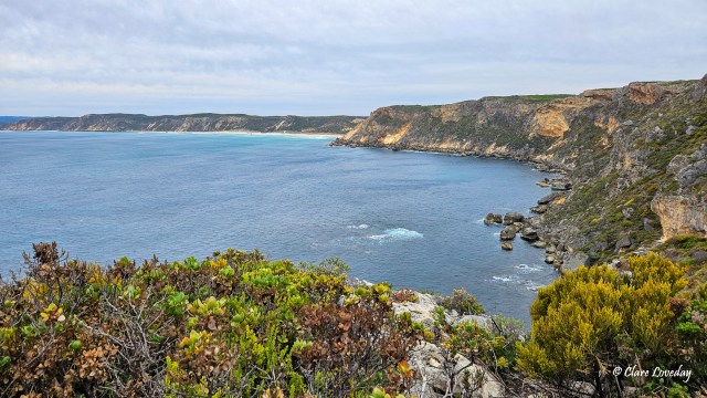
Whales and dolphins can be seen from the cliff tops – Klaus did see a pod of dolphins from the Tookulup lookout but by the time we reached it I did not see them…
We piled into Klaus’s landcruiser and went back to Point D’Entrecasteaux to start the Coastal Survivors return journey – Matt and Sharon opting to walk back the Clifftop Walk as well as the Coastal Survivors…
Arriving back by lunchtime we were all looking forward to some refreshments after walking just over 10km. The walk was not challenging and very enjoyable for all!

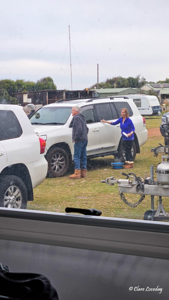
The afternoon was spent relaxing around the campsite…. Rose took the opportunity to detail the Pearl much to Dave’s delight!
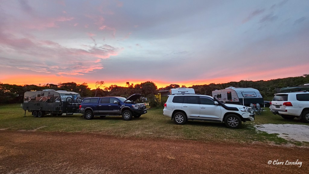
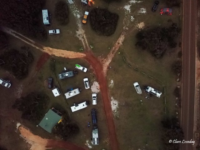
As the sun went down the sunset was spectacular – Trev put up the drone and captured some last minute shots as the light faded…