Day 46 White Cliffs 21.4.22

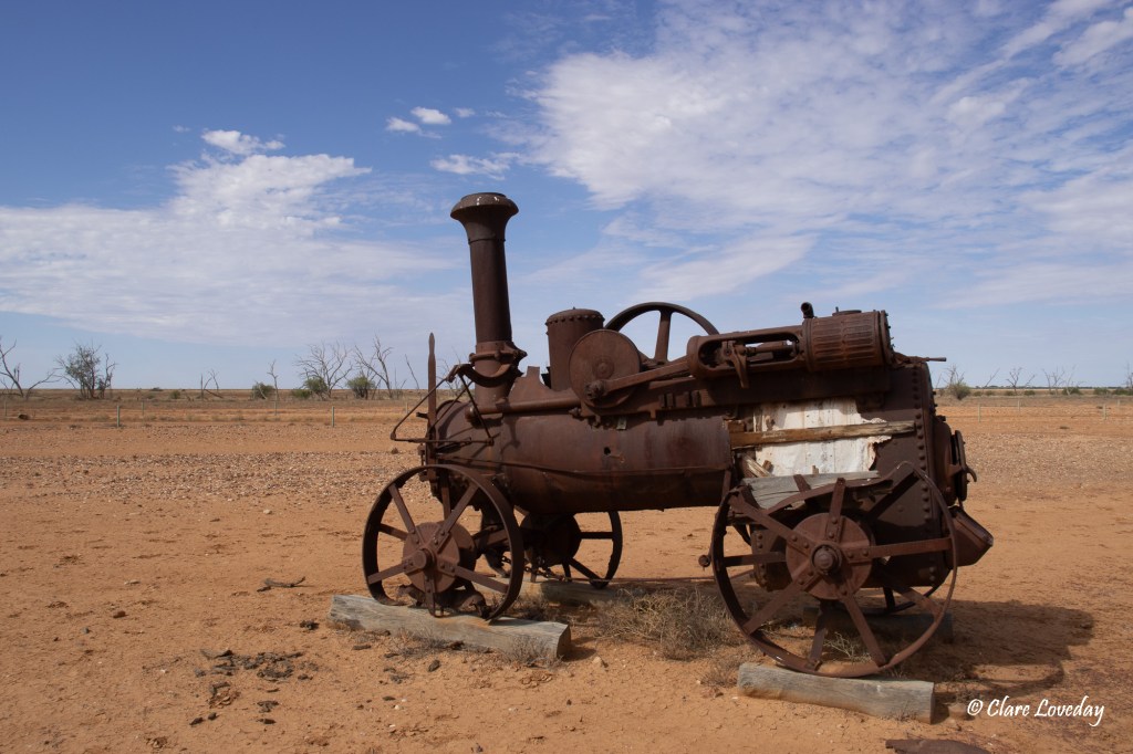
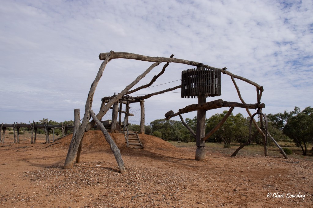
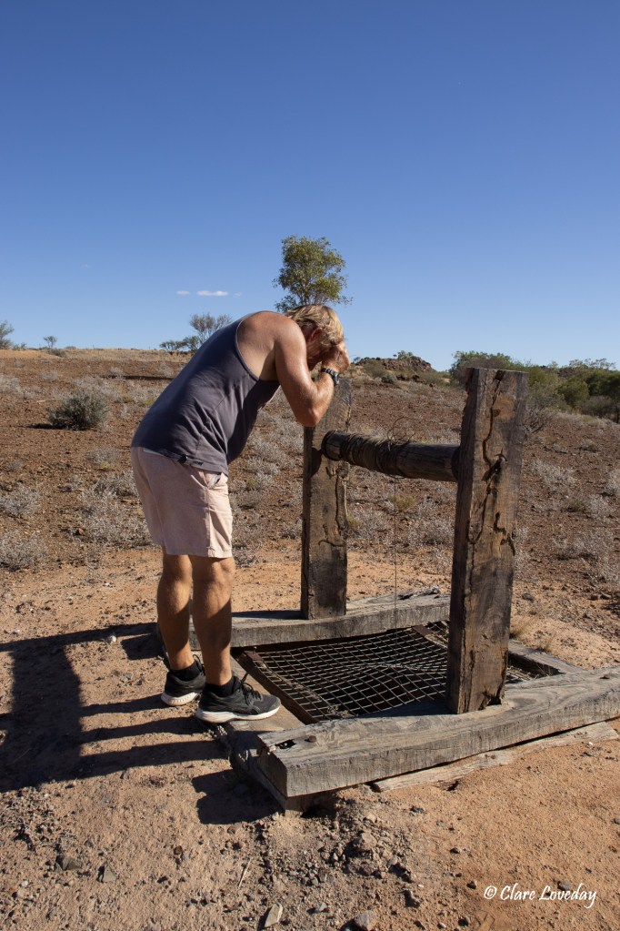
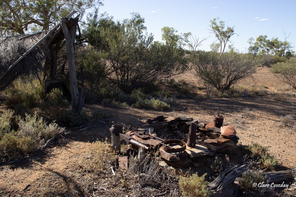
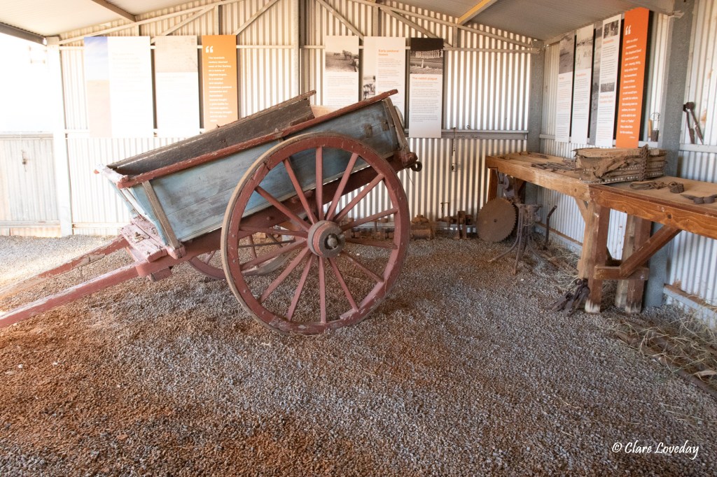
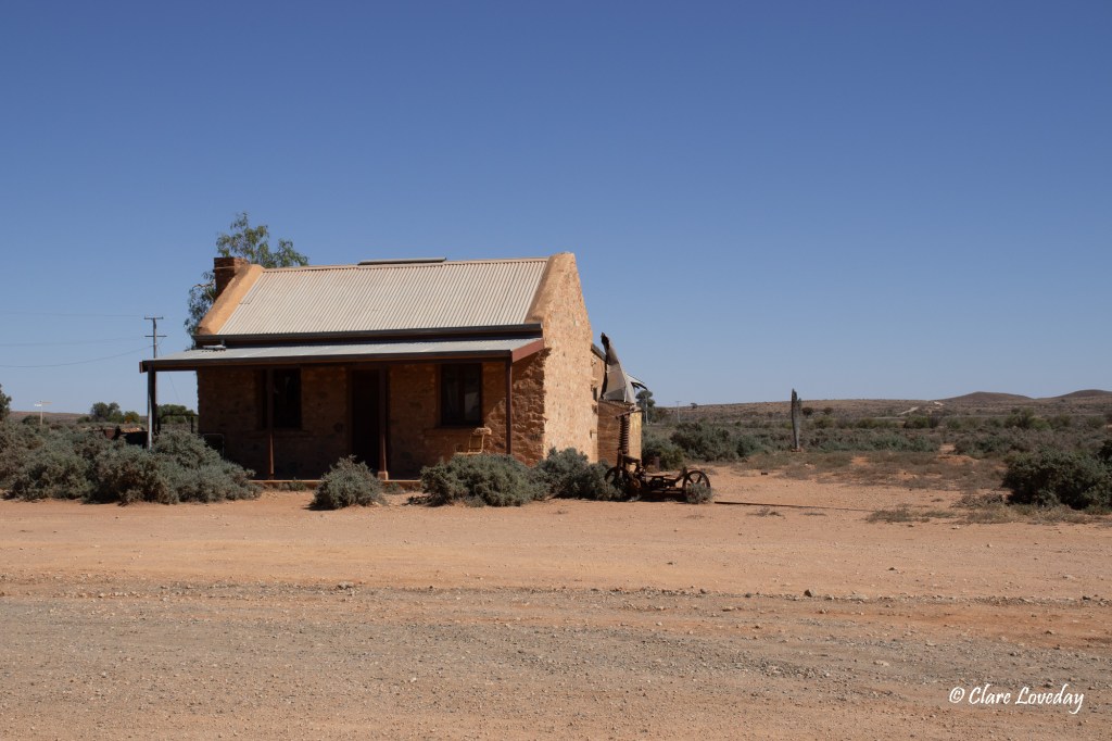
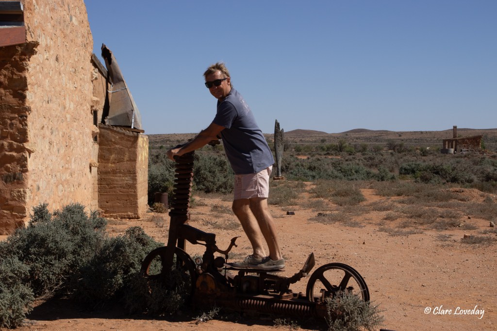
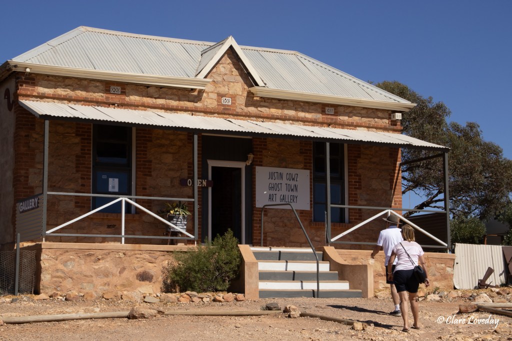
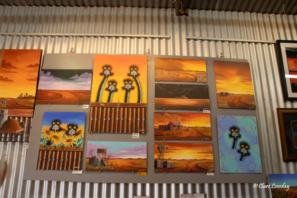
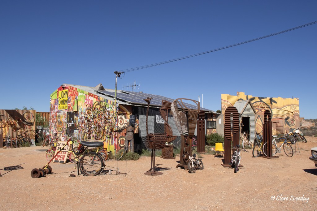
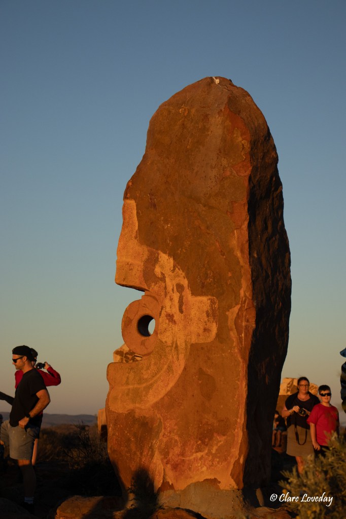
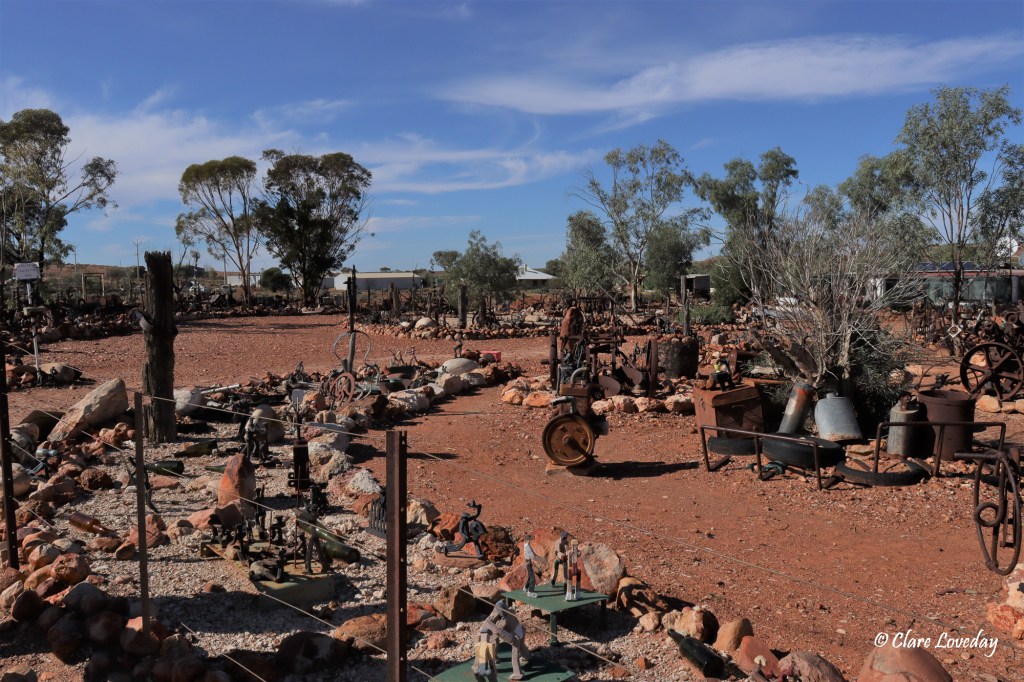
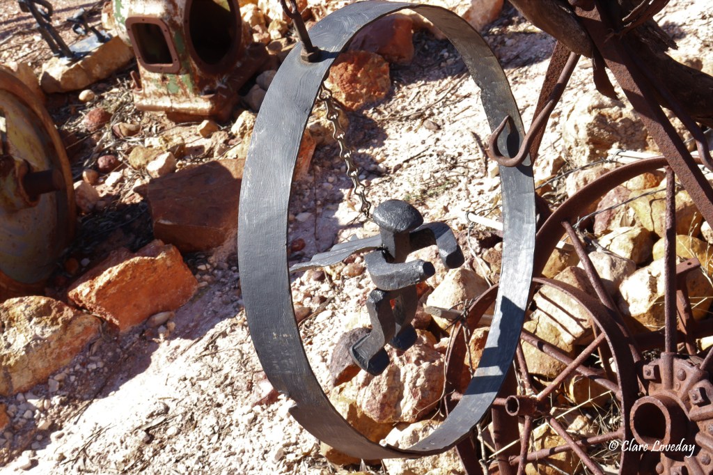
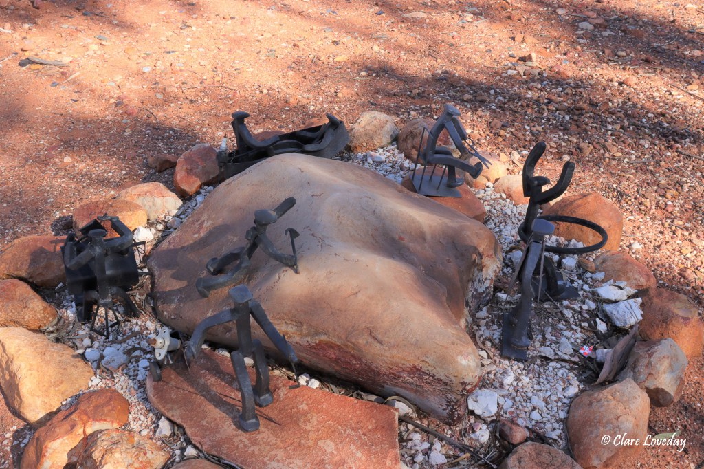
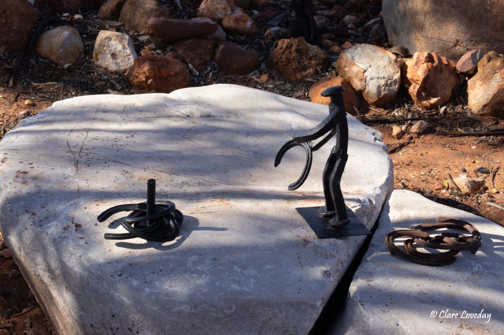
Our last day at White Cliffs began slowly. Beryl was keen to see the metal art display by Doug Torpey a local artist, so we walked down to his home where his garden was filled with his metalwork displays as well as many old metal mining relics.
His latest set of artworks was called “Little Iron Men” – sculptures of little people made with railway nails – and there were hundreds of different little men in all different scenarios – really well done. We were disappointed that none were for sale as they would have made great garden ornaments and a good souvenir from White Cliffs…


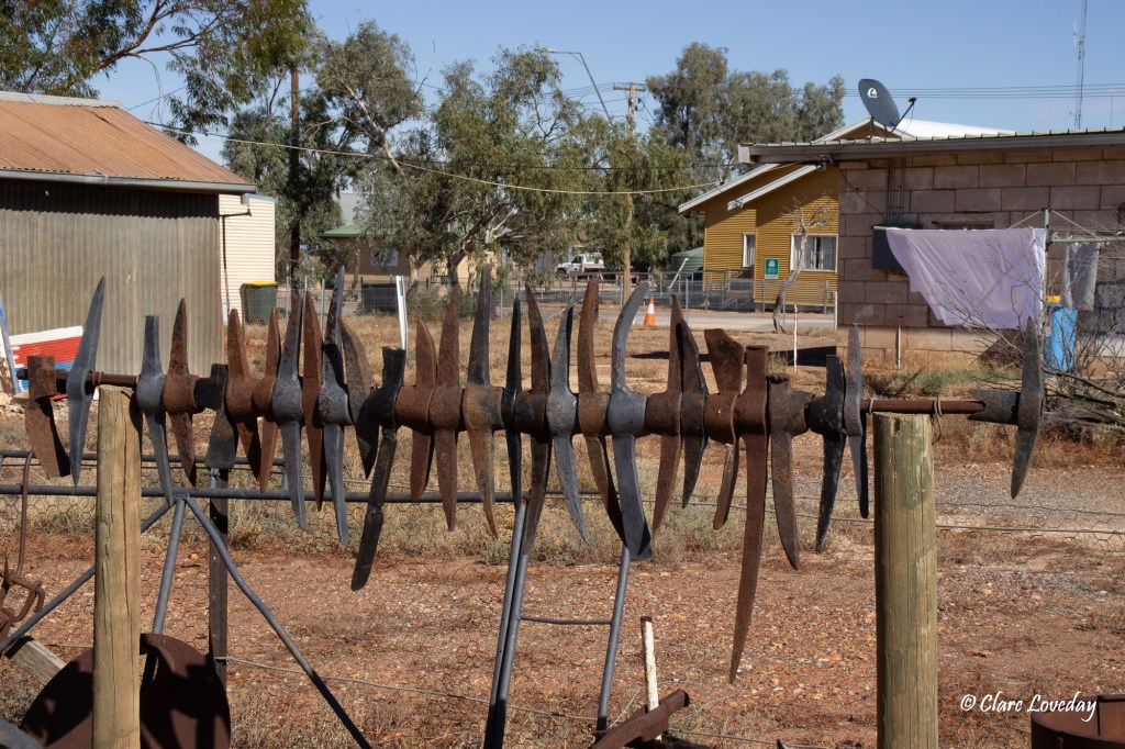
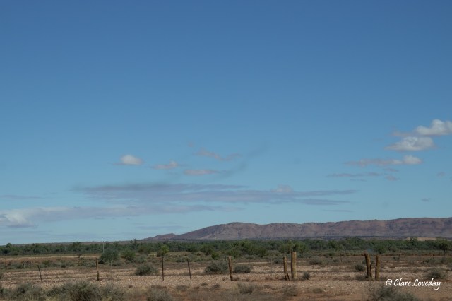
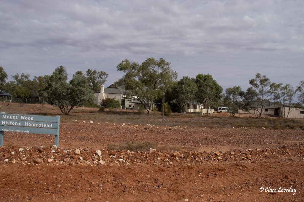
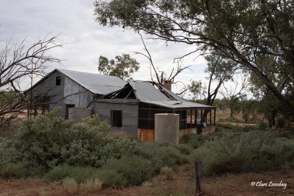
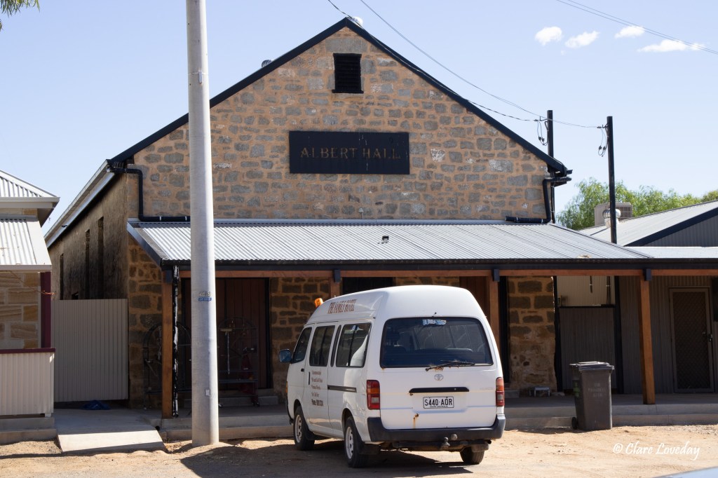
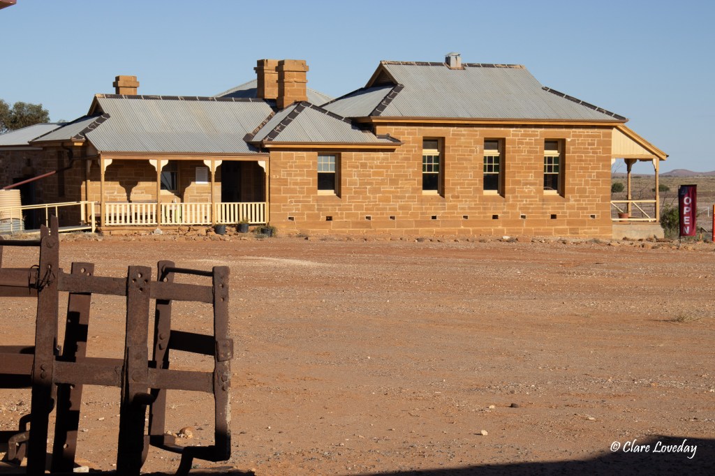
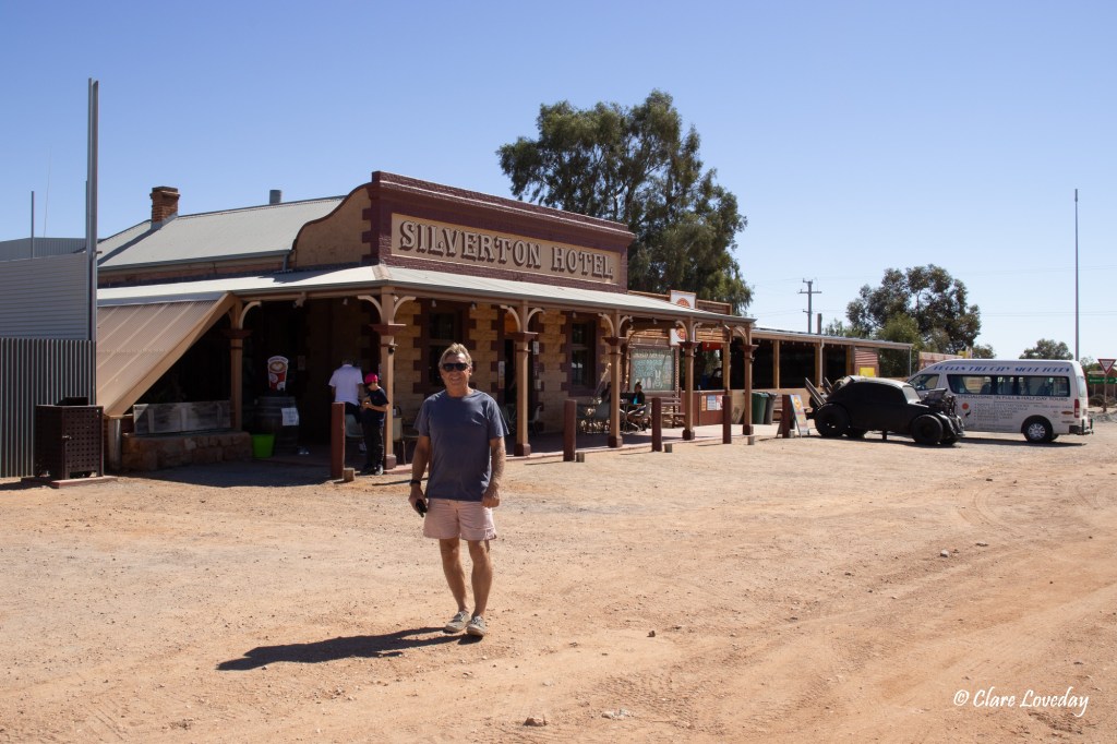
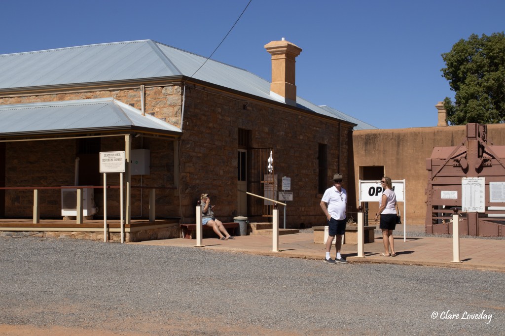
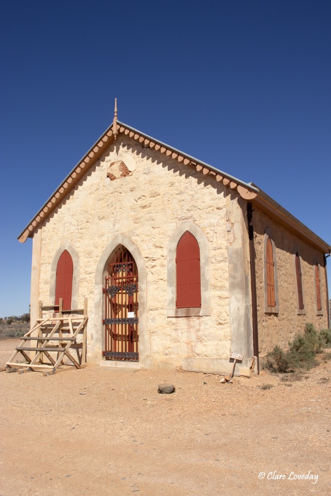
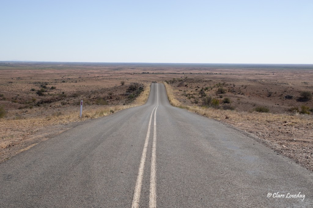
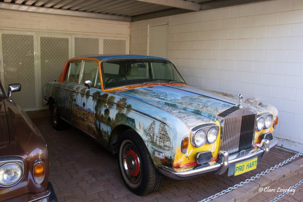
We did a walk through the town – only really one main street – the old post office had been beautifully renovated by a private owner and was without a doubt the best garden and home in town….


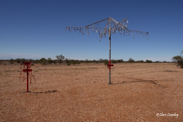
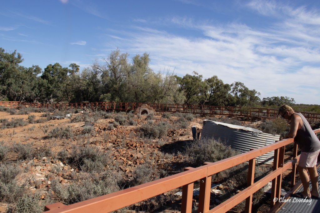
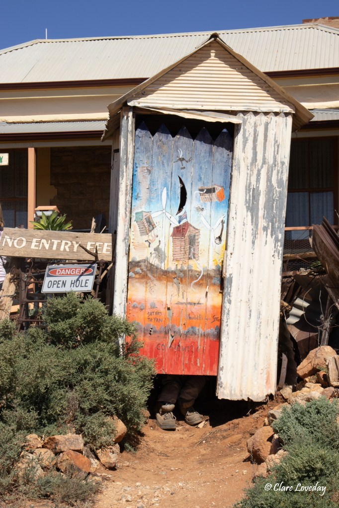
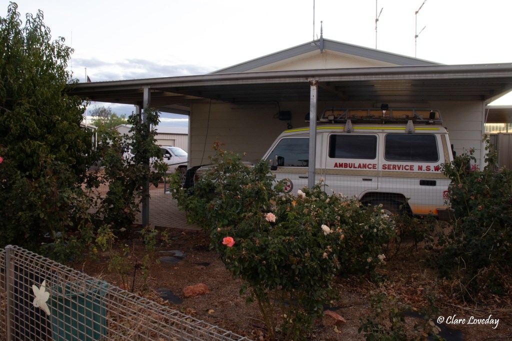
At the local health service which was really just an ambulance station and clinic there was in interesting sculpture of metal ants walking up the large rock out the front.


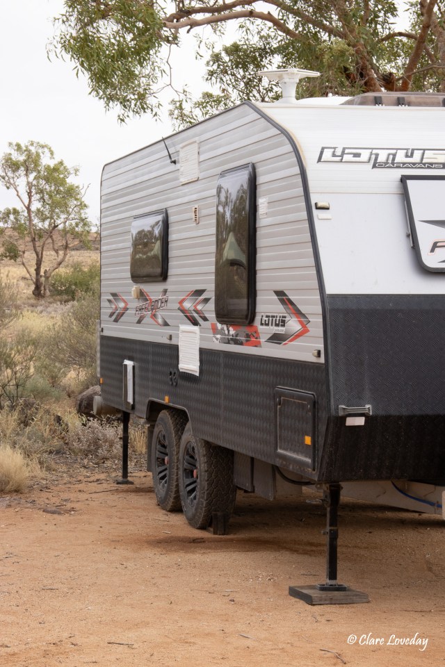
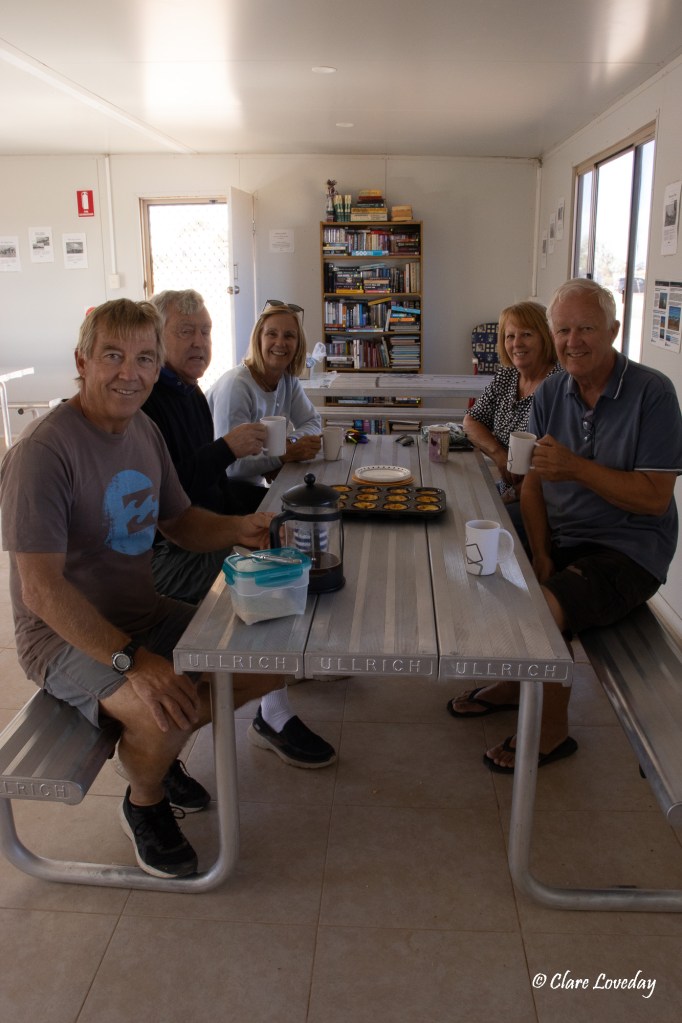
Klaus had not come on the walk with us, and we arrived back to the caravan park…and a batch of Portuguese Tarts that Klaus had cooked – absolutely delicious for morning tea with a coffee! Trev was in his element as Portuguese Tarts are one of his favourites… We had waited the whole trip for Klaus to bake some – and he finally came up with the goods on their last day!


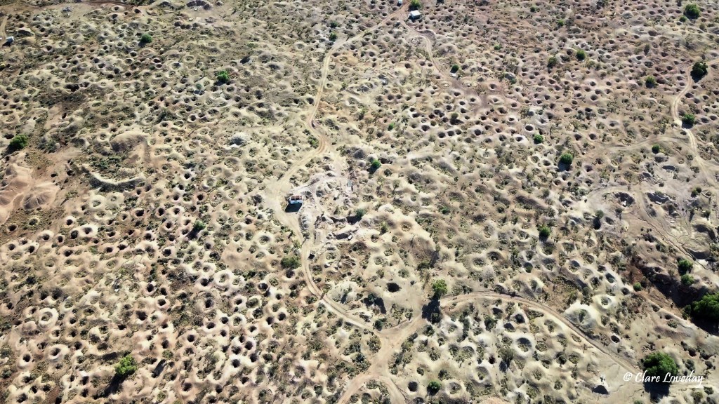
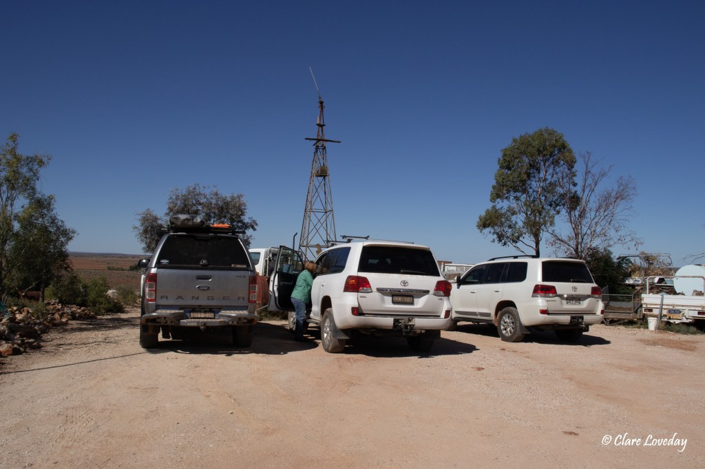
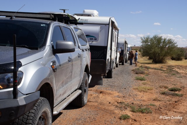
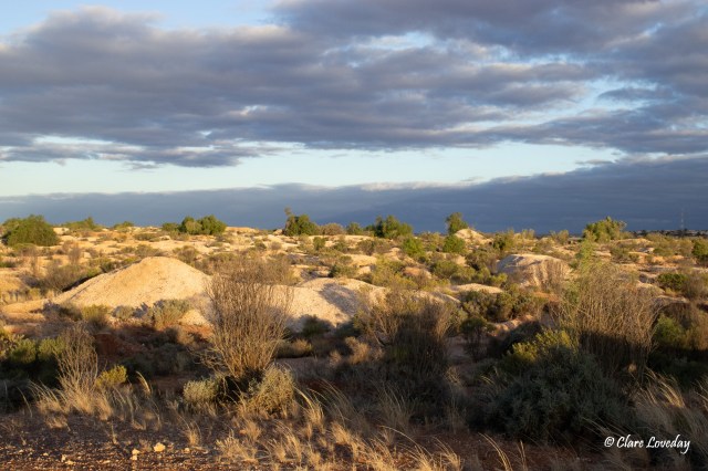
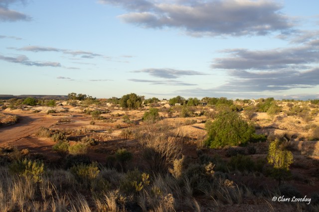
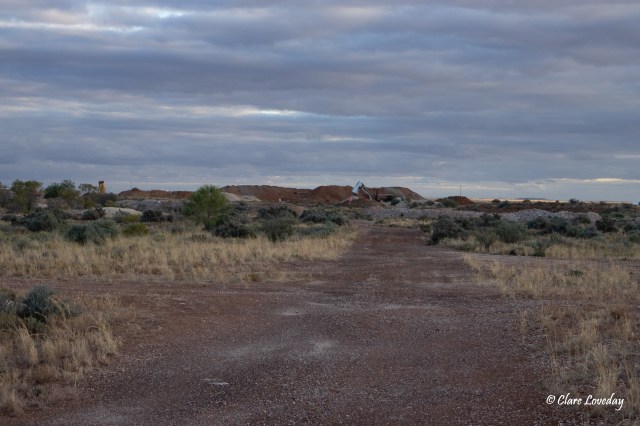
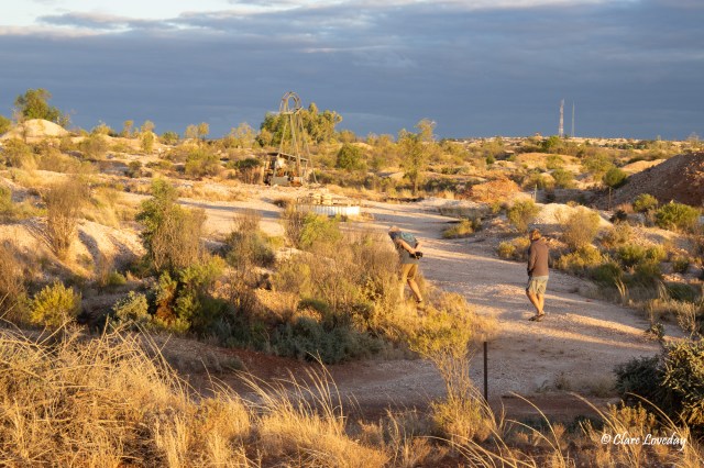
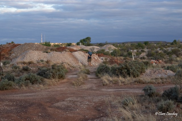
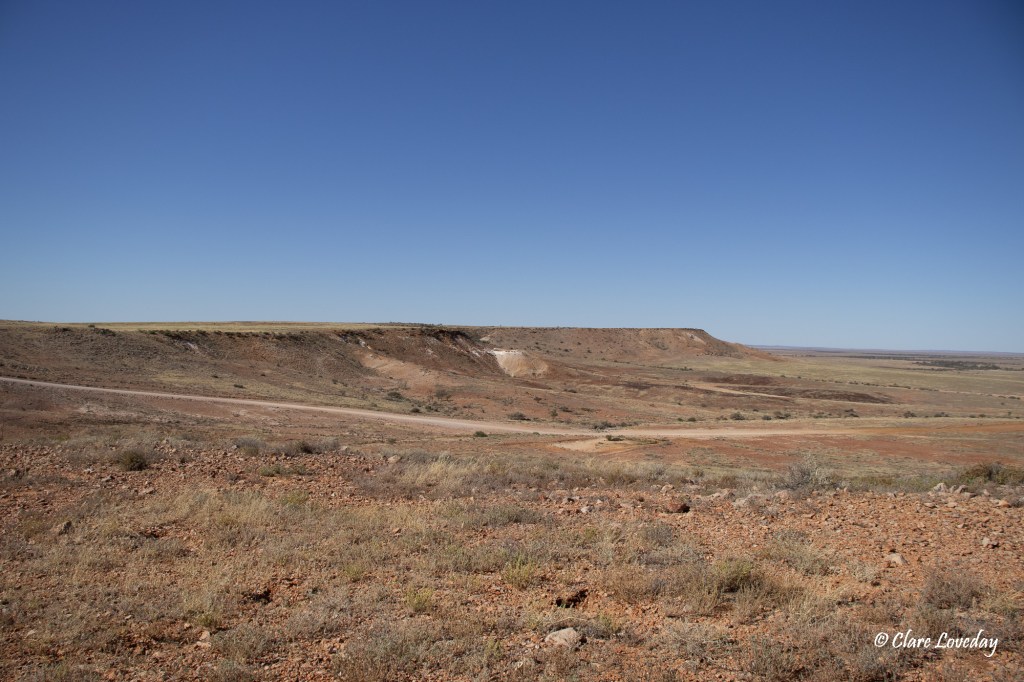
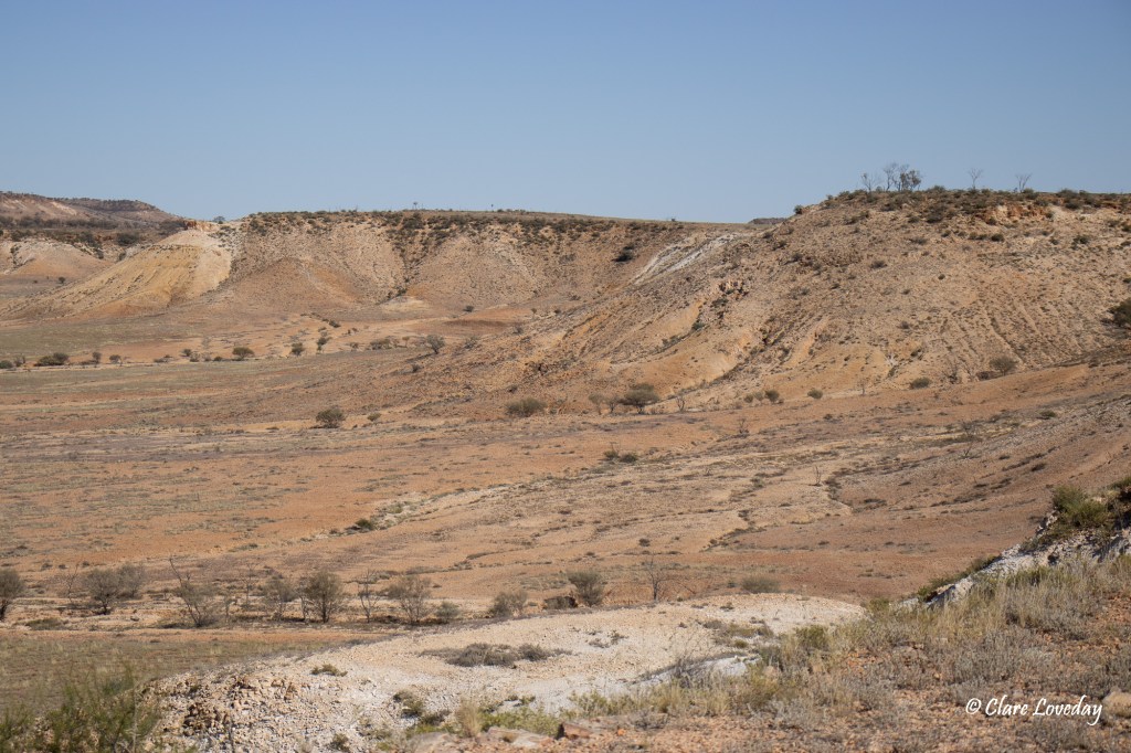
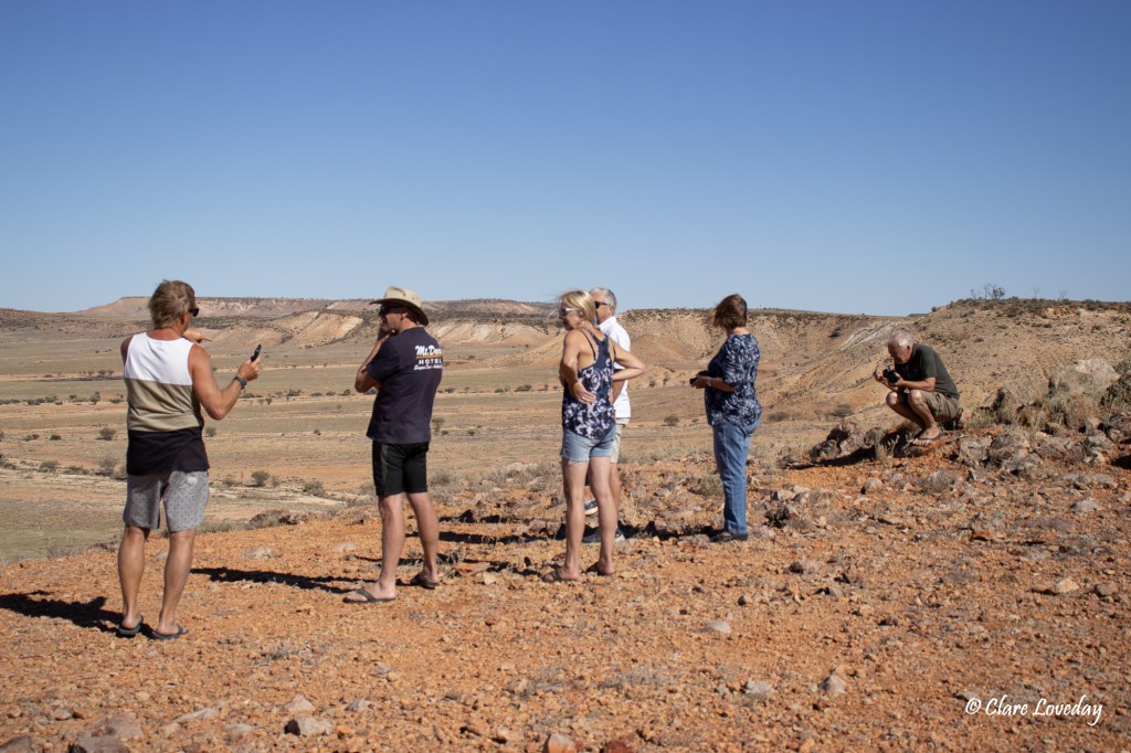
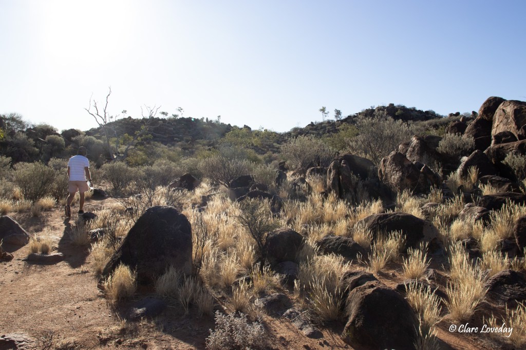
After morning tea, we all went to the opal fields (bar Beryl) to do some noodling. Dave and Rose did a quick noodle then returned to the caravan to relax.


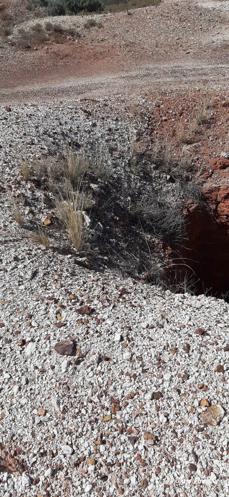
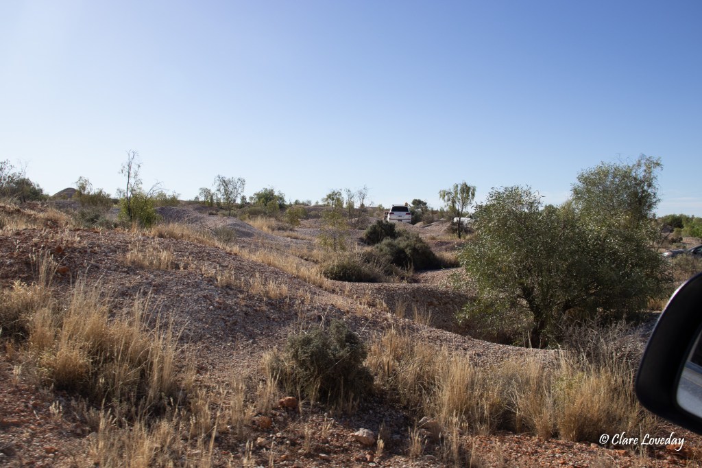
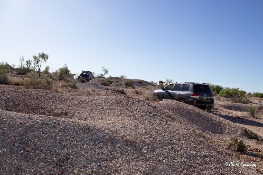
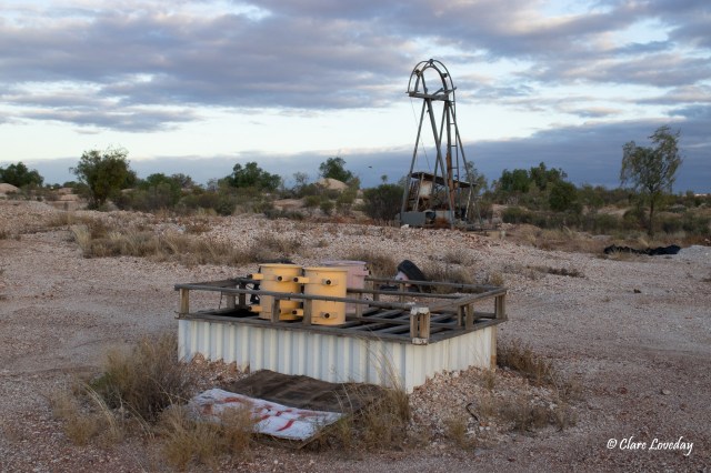
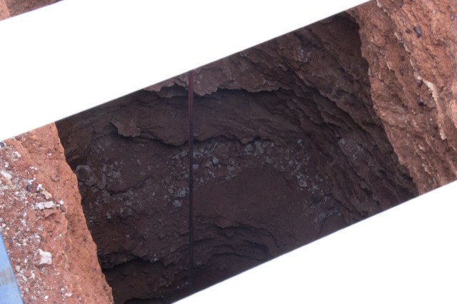
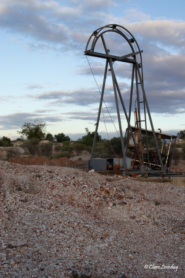
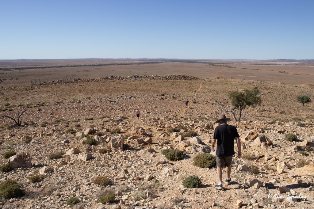
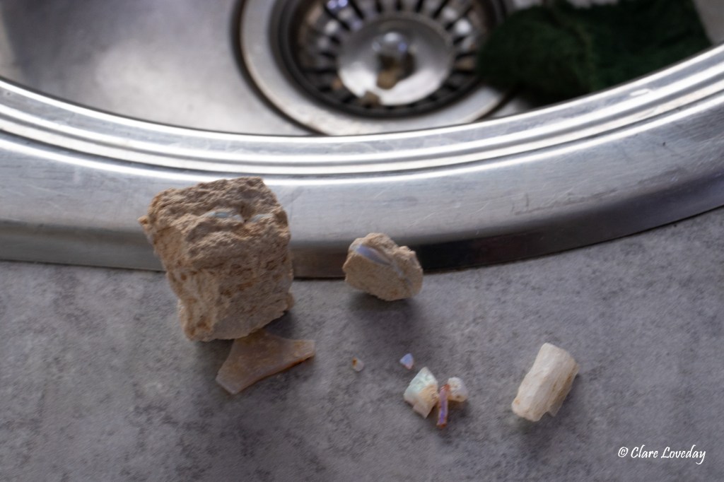
Trev, Klaus and I spent a few hours noodling, coming up with some small pieces of opal keeping us interested – it can be addictive fossicking among the mullock heaps!! We had to be careful to watch where we walked as there were shafts everywhere and we did not want anyone suddenly disappearing!!!


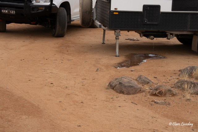
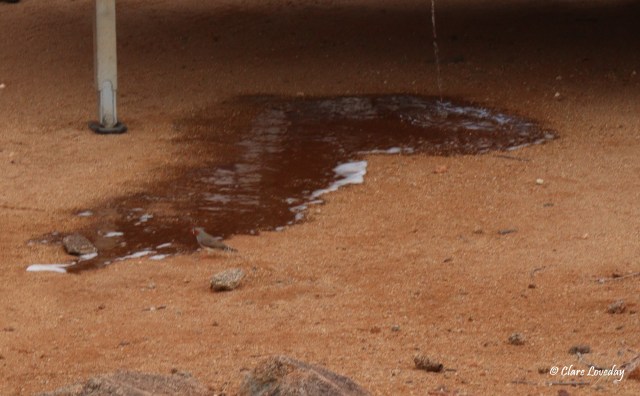
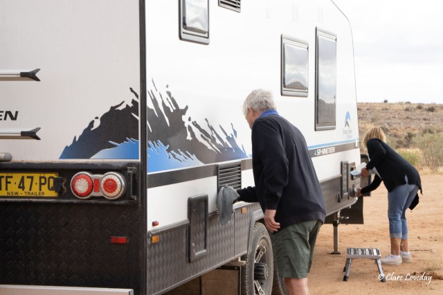
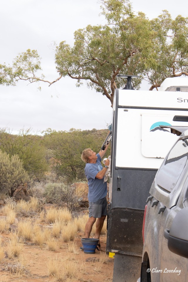
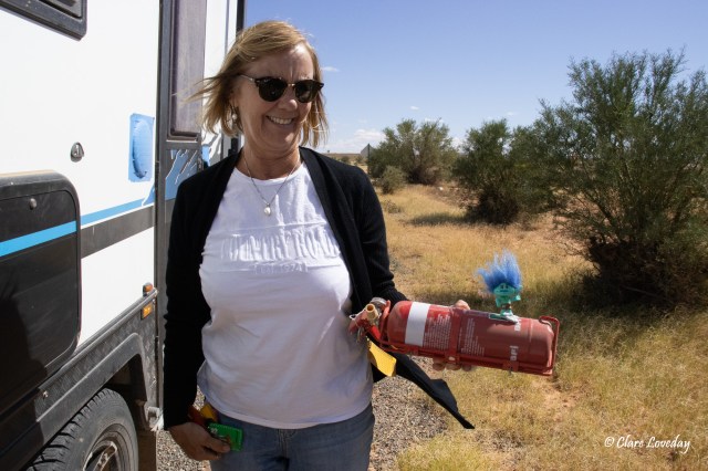
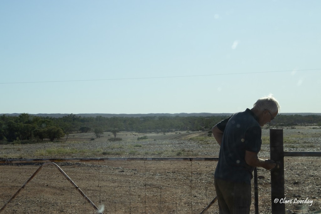
Meanwhile back at camp a “watergate” scandal was unfolding…. Seems Dave was trying to fill his water tanks and had left the hose running…Beryl came out to notice the water gushing out from the inlets causing a flood out the front of the Weiss van and Dave nowhere in sight….she yelled out to him and finally raised his awareness…. It then seemed that the tanks weren’t full – Beryl explained to Dave that maybe he should slow the flow of the water from the hose into the tanks which would allow air to escape and prevent water spilling out and not properly filling the tanks… which apparently had been advised to Dave before – but as he said he had not really taken it on board until Beryl had used her cranky voice!!
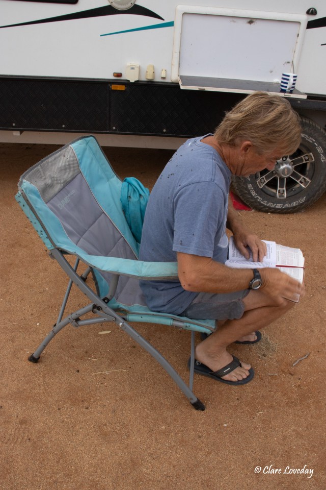
After noodling we came back for a late lunch then relaxed for a while…..

until Klaus and Trev wanted to go for one final noodle – which we did, finding a little bit more opal….
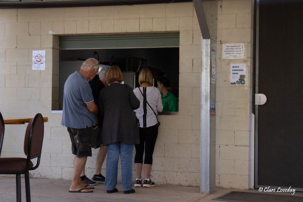
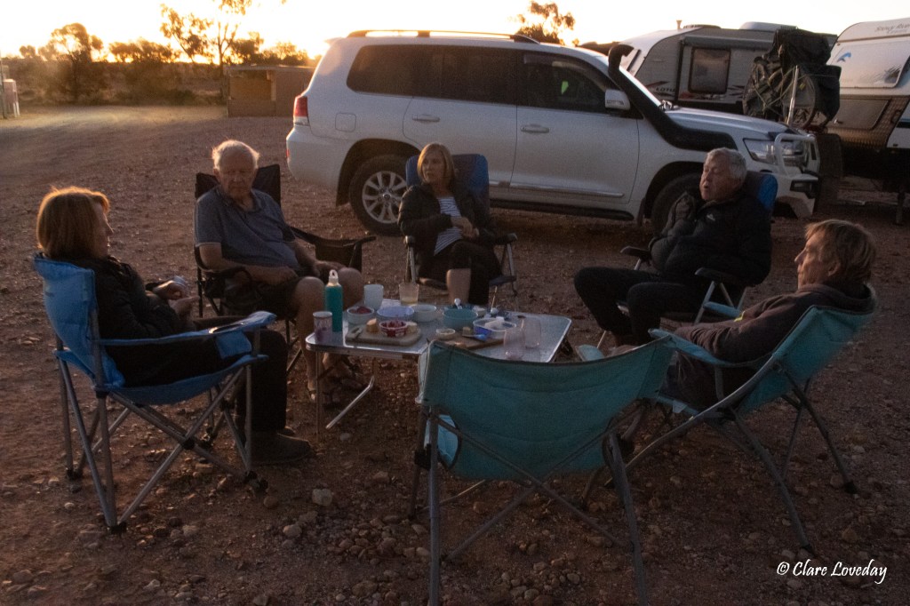
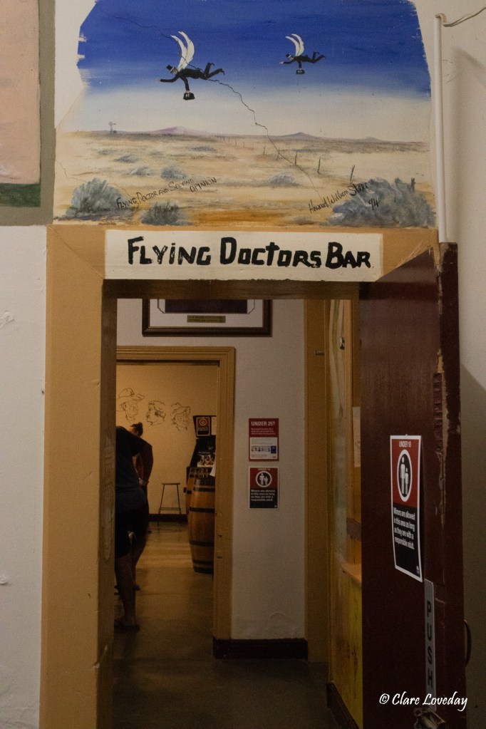
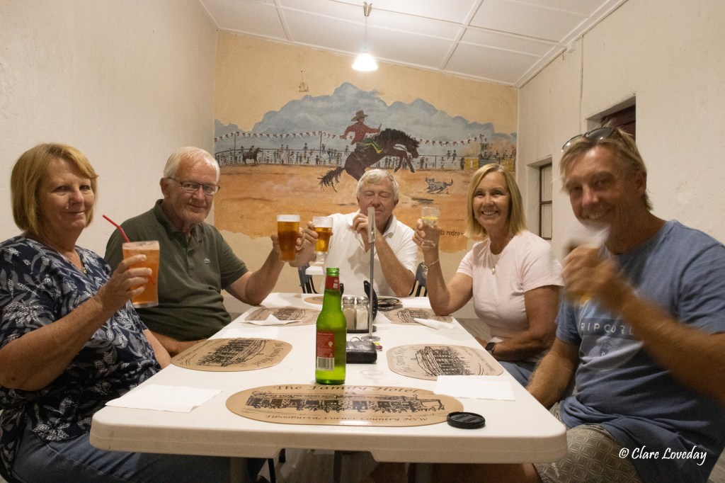
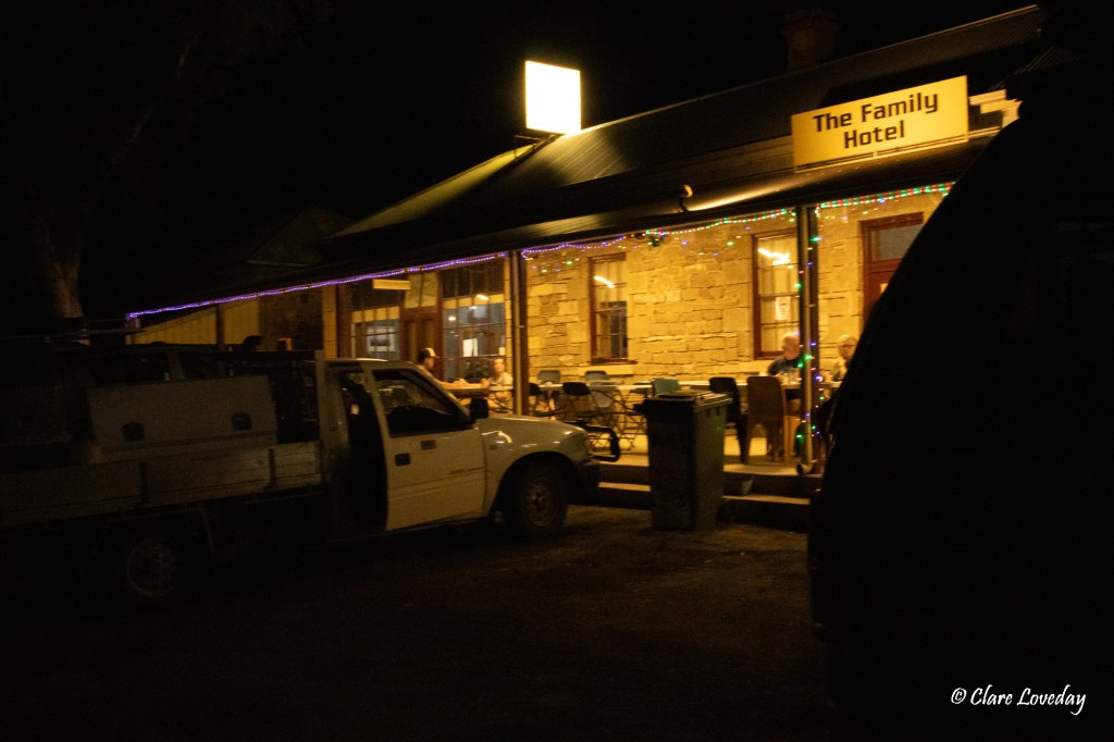
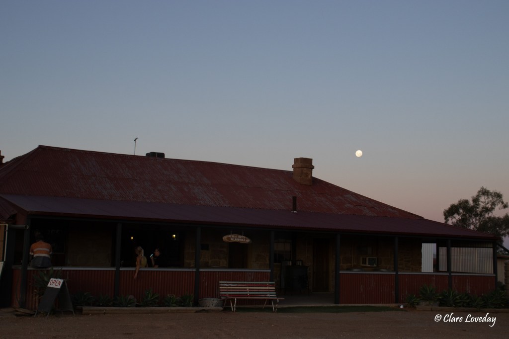
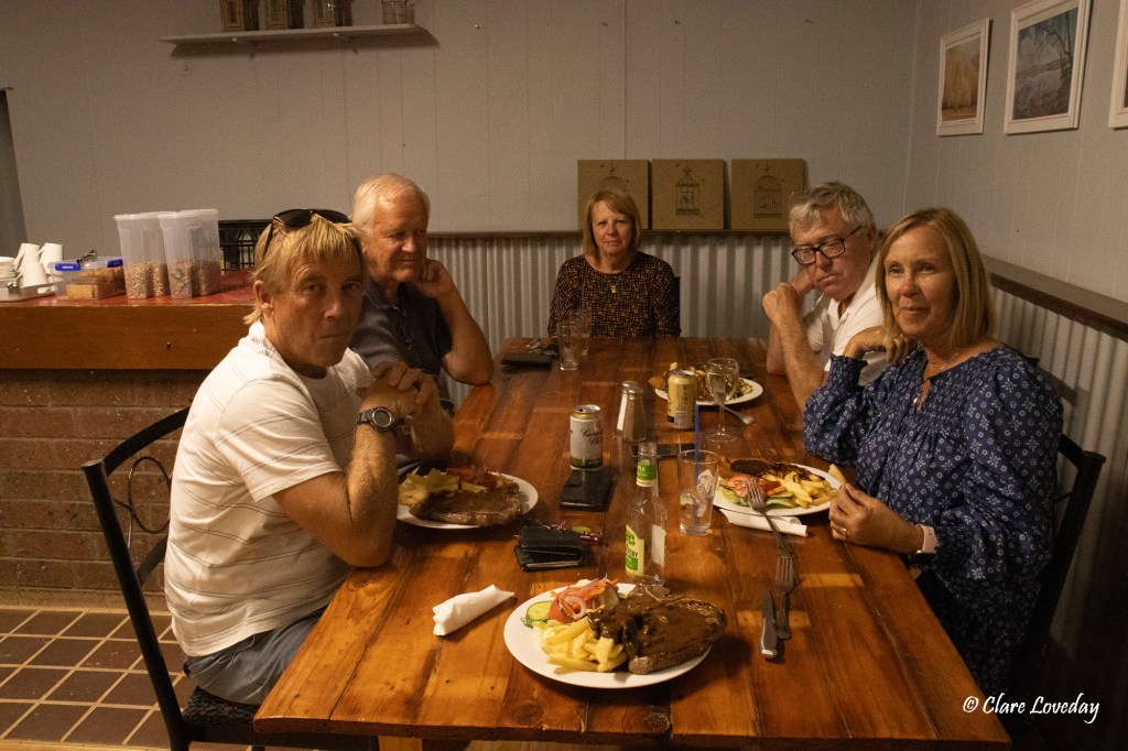
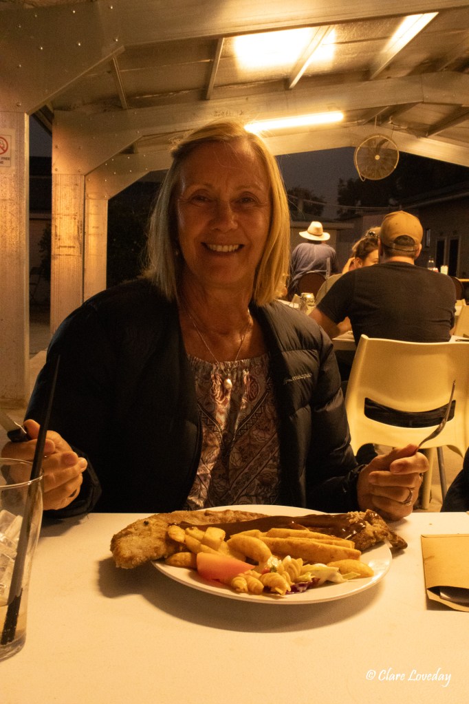
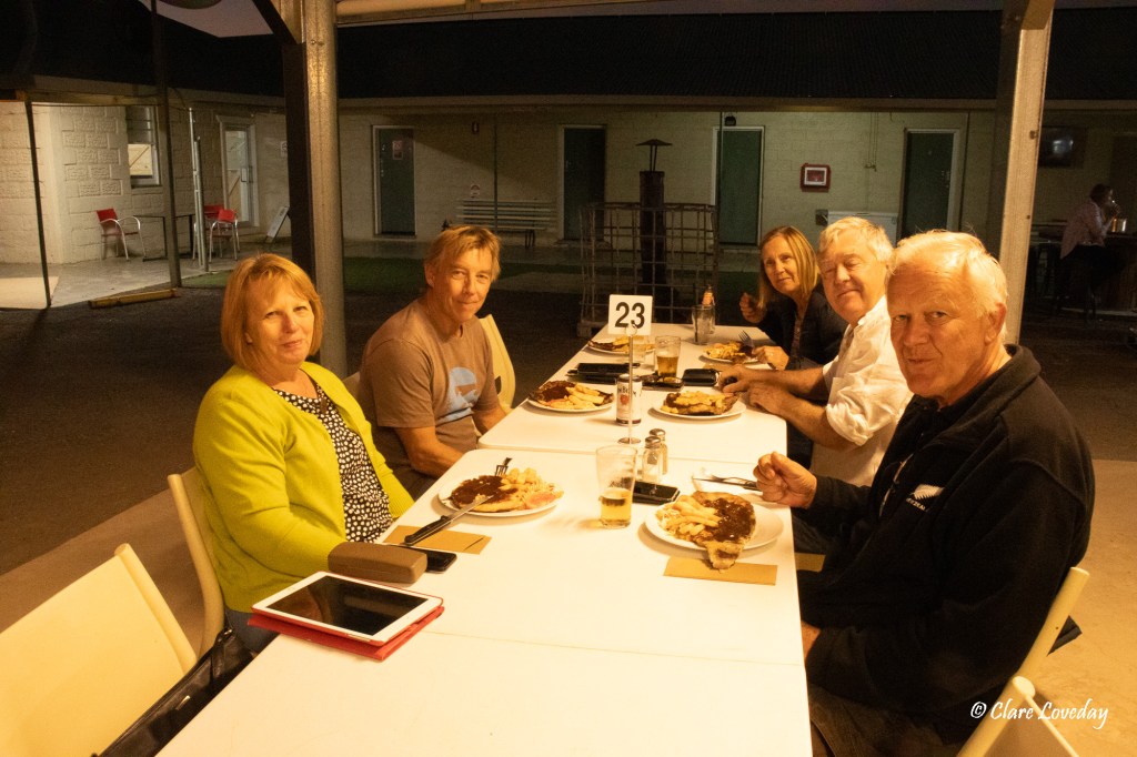
As it was our final night with Beryl and Klaus we went for dinner at the pub – they had received deliveries and so now had a full menu – the meals were huge and really delicious – amazing, tasty steaks!!


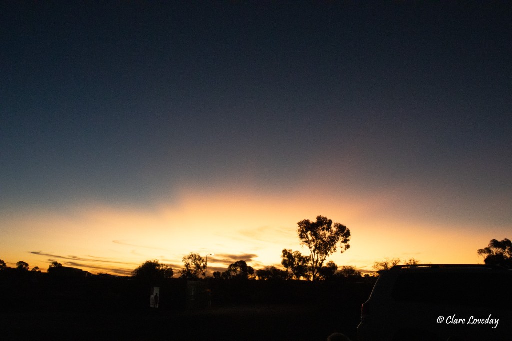
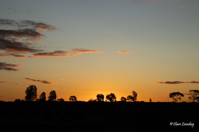
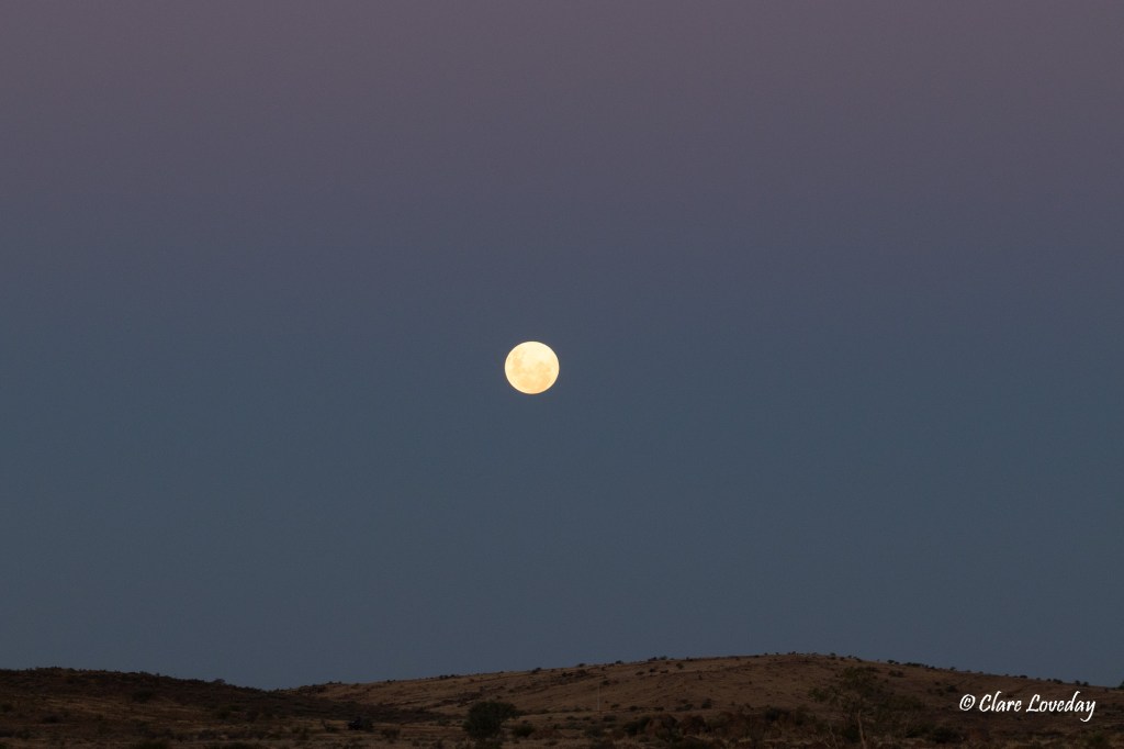
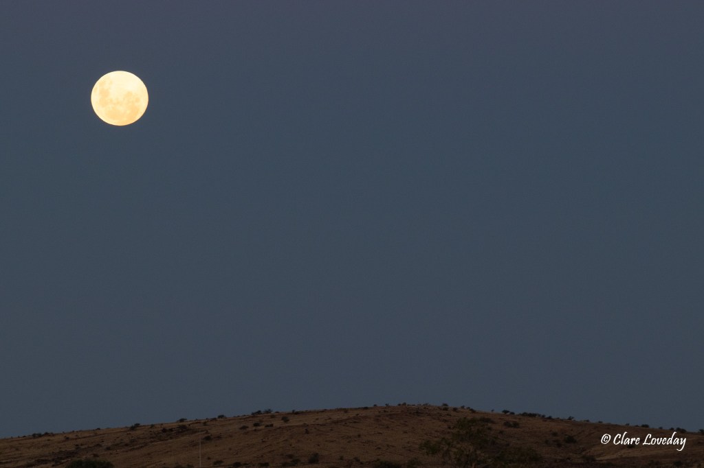
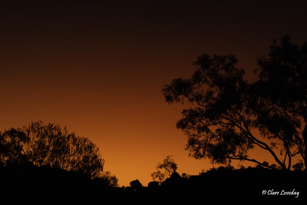
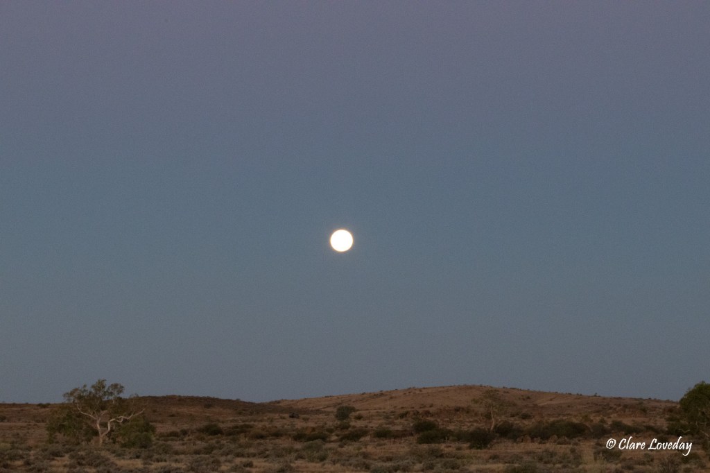
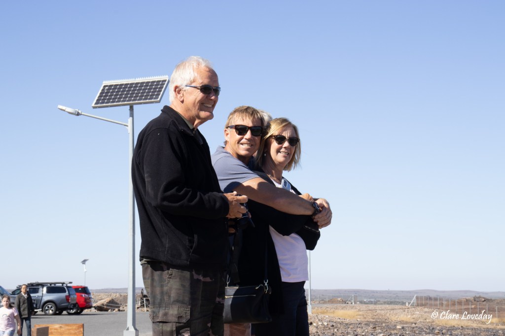
Sunset viewed from the pub outdoor eating area………………and Beryl did not realise she was sitting next to Rod Stewart of all people….

Day 45 White Cliffs 20.4.22

We awoke to a fine still morning in White Cliffs so Trev decided to put up the drone to get a good aerial overview of the town.

The pics were amazing – literally thousands of holes surrounded by mullock heaps – it looked like a real moonscape…. Or a huge rabbit warren….

You could see where some of the miners were currently working – one big open cut area was visible but the majority still work in shafts and tunnels.

Our first stop was the Underground Motel for a self-guided history display and tour of the motel.

White Cliffs is Australia’s first opal field. Opals were discovered at White Cliffs on the Moomba Station in 1884 by a group of Kangaroo Hunters. In 1892 there were only 18 men exploring for opal in white cliffs. 2 major finds in 1893 caused an influx of miners -over the next 12 months 800 men arrived and by 1897 the population had grown to 3500.

Lack of water and extreme heat led to many of the population living in underground “dugouts” which stay a cool steady temperature all year round.

White Cliffs Opal occurs in pockets below the surface with no indication on the surface of its location. Hence shafts were sunk that were 3m square to a depth of about 4 meters in the early days looking for traces of opal. Once opal was found the miners dug horizontally along the seams – no need to shore up the tunnels as the ground at White Cliffs is very stable – like Coober Pedy. Shafts became much deeper as mechanised method of removing the dirt or “mullock” as it was called made it possible.

The opal at White Cliffs is mainly white/ clear with the colours due to light refraction through the water trapped in spheres of the silica. Opalised fossils and unique opal “pineapples” are also found at White Cliffs.

In 1900 overproduction of cheaper grades of opal caused a drop in overseas prices and together with the harsh conditions led to a slow reduction in the number of miners – by 1908 the town started to decline. By 1914 with many having left for Lightening Ridge and now enlisting in the war effort the population had dropped to just 30.

The history of the Underground Motel was captured in the below information display – very interesting story!

The motel was a maze of rooms of varying configurations, but all looked very comfortable. Most of the walls were bondcreted and painted white to lighten areas but some had been left natural just sealed with bondcrete.

There was a large “stairway to heaven” – a steep staircase that led to the surface and an area to look out over the town – great views!

The tour apparently included a “real coffee” in the price – or so we were led to believe – however when we returned to the dining area it was actually just instant coffee – you had to pay extra for “barista” coffee. We had already ordered our coffees and the woman attending the café let us know multiple times she was not good at making them – and indicated a “barista” bloke sitting behind the counter who was constantly in his mobile phone ignoring her….despite the fact she asked him to make the coffees she ended up doing so – it was a bit reminiscent of Fawlty Towers…. The “real” coffee was very ordinary – and we did not pay the extra for it in the end….

We left the motel and went to Red Earth Opals to book the underground mine tour which liked great. Graeme the owner of the mine was in the shop, and we had a long discussion with him about modern day opal mining and the success he had with his claims.

The tour was not til 3pm so we went to the pub for lunch. The menu was limited due to the delay in the supply trucks, but we had delicious hamburgers with hand cut chips – really tasty!!

We had a quick look at Southern Cross Opals before returning to Red Earth Opals for the tour.

The tour began with and informative talk by Graeme on the history of opal mining at White Cliffs then detailed information on how opal is formed and the types of opals including opalised fossils that are found at White Cliffs. Graeme had some great examples of these that he had found in his more than 30 years mining at White Cliffs.

After the information session we all drove out following Graeme to his mining lease. It was a short but interesting drive through the mullock heaps.

We arrived at Graeme’s mine and after donning hard hats and a safety talk – as well as a demo of how the mullock is bucketed up mechanically from his mine, we headed underground for a tour of his working mine.

The tour was extremely interesting and went for 2hrs….

Once out from underground we had planned to go noodling, but the light was fading so we opted for happy hour at the vans…which ended up as dinner as we were still full from the pub hamburgers.

Sunset was again beautiful…. another day in the outback!

Day 44 Tibooburra to White Cliffs 19.4.22

The rain had stopped by morning and so everyone was up early preparing for our next leg of the journey to White Cliffs.

Trev was sitting in a cloud of flies trying to have his early morning quiet time…

Some Zebra Finches had found a goldmine in Rosie’s wastewater fountain…

As we had about 110km on dirt today with the vans, everyone got busy taping up the vents in the vans to minimise dust intake. Rose and Dave worked in harmony cleaning and taping in a very coordinated manner…and very thorough with every protrusion on the van thoroughly double taped – and even colour coordinated with the van.

Klaus was done quickly with his taping, and Trev had a bit of an issue so ended up having to borrow Klaus’s stool to reach the high spots.

Dead Horse Gully was a great campsite – we were somewhat sad to leave but keen to go on to the next adventure…

We drove south toward Milparinka passing a huge salt lake on the way…

Between Milparinka and Packsaddle was Henry Roberts Road which led to White Cliffs, so we turned left and stopped to let down the tyre pressures on car and van before hitting the dirt.

At the junction of the highway and Henry Roberts Road were two unique “tool trees” – another quirky outback construction!

The road was in good condition for most of the way much to everyone’s relief as some of the unsealed roads can be a bit of an unknown….

We drove though arid plains, farmlands, large cattle stations….

The road surface changed from red dirt to white, back again, rocky to sandy and back….

In the distance we could see mountain ranges.

Trev was diligent with the radio comms forewarning the crew of upcoming obstacles, holes, and various wildlife…

Halfway to White Cliffs we decided to stop so everyone could do a van check (or was that really a toilet stop for Klaus??) as there had been a few unexpected bumps…

The Loveday van was intact…. But Branch played havoc in the Weiss van opening the freezer door to get at the ice-cream…. Or was it really that a bump had caused the door to fling open sending the contents all over the floor…

The Wells fire extinguisher had dislodged … or had Branch commandeered it to put out inevitable spotfires????

We continued over dry creek beds…that started to look damp as we got closer to White Cliffs….and then looked muddy as there had obviously been some recent rain in the area.

Out of nowhere popped a blue tree which excited Branch greatly, blue being his favourite colour…

Clouds loomed ahead adding an interesting element to the landscape…

As we crossed over into the Central Darling Shire the dividing sign had an obvious spelling error!

Getting closer to White Cliffs the road turned into red mud – slippery and very messy….. the Ranger and Snowy took one for the team getting most of the mud as Trev was able to advice the others of the pitfalls ahead…

We arrived at White Cliffs and found the caravan park. There was mud over the front of the van and caked all over the mudflaps, pipes, step etc…

After setting up we drove around town to get an idea of the place and location of various services etc. White Cliffs is very small with only 1 general store, 1 pub and then basic services like police station and health centre.

They did not have many supplies as the roads had been closed due to the rains and so deliveries were delayed… so we were also short on supplies….

We drove out to the opal fields and had a walk around looking at the deep shafts that were everywhere, mullock hills and old mining equipment. The whole area was like Swiss cheese with multiple holes – it looked a bit like a moonscape and reminiscent of Coober Pedy. Many of the residents live in dugouts.

Klaus was keen for noodling so could not resist having a quick scratch in the fading daylight…

We went back for dinner at the caravan park and planned the next 2 days in White cliffs…

Sunset over the caravan park was a typical outback sunset….. and the clouds were starting to abate…

Day 43 Tibooburra 18.4.22

The morning looked a little overcast as we woke to another day in Tibooburra. Branch had detected an issue with the Wells water heater – Rose had showered with hot water and Dave then went to have a shower – no hot water. It was NOT due to Rose using all the hot water…. The water had failed to heat after Rose had used all the hot water – so after investigation it was determined that dust had played havoc with the gaspoint. After Dave had given it a good blow with the blower the problem appeared to resolve….

Dust was also playing havoc in the back of the Ranger – Branch stopped in to check the Waeco fridge which had also been having issues  – after cleaning it up and testing with Klaus’s lead, the cause of the issue seemed to be a faulty lead which McGyver and Branch promptly went to work on and fixed…

The plan for the day was to do the Gorge Loop Drive east of Tibooburra. The Outdoor Pastoralist Museum was the first stop along the way and was a very interesting collection of exhibits of early farming equipment and machinery. Ingenious yet cumbersome methods of obtaining water and pumping it into troughs for the cattle were on display as well as other steam driven equipment. Again we were struck with just how hard it must have been for the early farmers on the land managing in the heat. Drought and lack of equipment – and the sheer size and weight of some of the steam driven machinery!

The large wool scour area was visible where the wool was washed and cleaned before transport.

We drove on to the Mt Wood shearing shed – big flocks of budgies were in abundance along the creek area.

Mt Wood shearing shed was still in operation in the 1970’s but now is no longer used. It was again the same style of shearing shed that has been used for over 100 years…

Swallows were now nesting in its roof area…

We walked out and over to the suspension bridge that crossed the creek to the shearers quarters. These are now used as accommodation by the NPWS – people can book and stay there in the original but refurbished quarters.

We drove on past the historic Mt Wood Homestead which is now used by the NPWS.

As we drove on we spotted a large bearded dragon lizard  on the road so Klaus stopped to take a look and some pics. The reptile did not move off the road so Trev picked him up to relocate him off the road. Every time he moved the lizard, it ran  back onto the road and climbed up onto the inner side of Klaus’s wheels…Trev extricated him several times but he kept insisting on returning under the car…. Finally Trev put him on  a tree and there he stayed…

Halfway around the loop drive was the Mt Wood Gorge Lookout so we stopped and Trev put up the drone for a good view of the surrounding landscape. The gorge that followed the river was obviously green and the land around became progressively arid the further from the water source you went…

There were more ruins on the last section of the loop road. Two tanks filled with water were home to some duck families. Lots of old relics lay around the area.

On the way back in to Tibooburra we stopped at the third of the silhouette series at the entrances to Tibooburra – the largest one which made for some great pics!

The cloud cover was increasing but we went out to Sunset Lookout over Tibooburra where there was a free telescope to look out over the area.

Rose and Dave were feeling the flies so had their flyscreens firmly on…even with the wind!

Trev was behaving like a mountain goat jumping from rock to rock  – Rosie joined in with some assistance – thankfully Trev assisted to prevent any possible injury….

We watched the sun go down  – not so spectacular due to increasing cloud….

It began to rain when we got back to camp so we had dinner in the vans.

Day 42 Tibooburra 17.4.22

The plan for the day was to drive out to Cameron’s Corner where the 3 states NSW, South Australia and Queensland intersect. After getting advice on road conditions, we decided to take the longer Jump Up Loop and Middle Roads out and then come back along the Cameron’s Corner Road so we explored two different areas of Sturt NP.

Once out of Tibooburra we stopped and dropped the tyre pressures as the day would be spent driving on unsealed roads of varying conditions.

Following the Jump Up Loop Road we drove through a lot of arid areas, and periodically along the road were “tanks” built up with mud that had water in them (much like dams) – the tanks were a great spot to support local wildlife and vegetation – a variety of birdlife congregated around the tanks.

The road was very dusty in parts and the Pearl was getting inundated….

In the distance the Grey Mountain Range could be seen as we drove west, and the Jump-ups (flat topped mesas) came into view…

Once at the top, we stopped at the Jump Up Lookout to take in the expansive vista over the plains….and like everywhere we go – you don’t see another car on the road but when you stop there are people there… Trev got talking to a couple from Newcastle who just happened to stop there…. They were on their way to Tibooburra having come through Cameron’s Corner…

We passed the historic Olive Downs Homestead… all along the way was evidence of earlier pastoral activity.

There were a lot of dry creek crossings and the road varied from sandy to white limestone to red dirt in varying intervals….

Nearing Fort Grey Campground we passed Pinaroo Lake which had milky water in it….

We turned on to Cameron Corner Road and then shortly after turned onto the Dunes Scenic Drive for the last leg to the corner…

As we got closer to the corner the red dunes became more evident and the road was undulating with multiple crests which required caution on approach….

All in all the road was amazingly good all the way out to the corner.

We crossed into the wildlife sanctuary reverse that had been established to reintroduce native species that had become extinct in the area – bilbys, burrowing bettongs, western quolls, stick nest rats and golden bandicoots – going over the grid an alarm and barking dogs sounded as a deterrent to wild doig and foxes….

At the border there was a gate in the dog fence (longest fence in the world) which we opened and drove through into South Australia – turned right and drove immediately into QLD were Cameron’s Corner Store and Fuel stop was located.

First port of call was the traditional Aussie dunny….Klaus as always leading the way….

The Corner Store had an eclectic collection of caps from all over the place… much in the vein of Daly Waters Pub but not nearly as diverse… mainly just caps.

Although we had packed lunch we opted to buy local to support the store and so sat in the dining area eating yet another healthy pie/chips etc etc….

After lunch we went over to the marker where the 3 states join and took some pics….Cameron’s Corner was named after John  Cameron, a surveyor for NSW Lands Department who surveyed the state borders in the 1880’s. In September 1880 he placed a wooden boundary post in this area marking the state borders and engraved latitude 29 on it plus his name – the original post is still on display in the National Parks Museum at Tibooburra.

We left Cameron’s Corner and returned via the Dune Scenic Drive to Cameron’s Corner Road and drove that way back to Tibooburra. The landscape along the way was more arid than the way we drove out…

at one point we stopped to put up the drone as we were out of the National Park…unfortunately Trev’s phone had a flat battery so no ability to fly…..Klaus felt this was a Branchworthy moment… but Branch was MIA….

Along the road we hit a huge dry sand bed and the dust was phenomenal….the Pearl was swallowed up in the dust!!

After a long day of driving we arrived home at camp and cooked and ate in the vans as the flies were pretty bad…. The night was hot and made for a restless sleep for some….

Day 41 Milparinka to Tibooburra 16.4.22

We left the vans parked at Milparinka to do the short drive out to Depot Glen to have a look at Poole’s Grave and Sturt’s Cairn. Beryl stayed behind with the vans taking it easy….

The drive was over pastoral land through a couple of cattle gates….Klaus doing a great job as gate wench… but we found Depot Glen quite easily and Poole’s grave.

You could see why the party camped for so long there in drought as it was very shady with a creek running through the area….

James Poole, assistant to Charles Sturt, had contracted scurvy on the expedition and was unwell for quite a while until he finally succumbed in 1845. Sturt buried him under the grevillea tree which was still standing today – with the carving still evident in the trunk marking the grave. A tombstone was erected much later. A couple of other early pastoralists were also buried here.

We then drove on to Mt Poole where the cairn was that Sturt had his men build to keep them occupied while they were camped there waiting out the drought….

The area was very stony and arid – we climbed up the mountain to the peak where the cairn was… it was a longer climb up than we realised – steep at times and very rocky so we all had to watch our footholds carefully – no one wanted a Weiss faceplant on stony rocks instead of seaweed…..

The views of the surrounding area were spectacular – it really gave you the perspective of the remoteness and you could see the creeks winding though the desert area marked by vegetation growing along them.

Sturt’s words on the plaque on the cairn were a sombre reminder of the difficulties of early explorers life….

After descending very carefully……

….. we drove back to Milparinka to pick up Beryl and the vans and continued along the Silver City Highway heading for Tibooburra.

The countryside was a mix of arid plains, grassland, stony and sandy desert areas with mountains and mesas visible in the distance.

We arrived at Tibooburra and drove through to Sturt National Park and the Dead Horse Gully campground where we were camping for the next 3 nights. The name originated when 2 dead horses were found by miners in the gully – cause of death was unsure but the thought was that they had eaten something poisonous.

The campground was great with flat areas to park the vans together, some trees for shade and a picnic table near our site that Beryl got to and cleaned and swept…. Was she taking over Rosie’s cleaning mantle???

The toilets were really clean and not smelly at all for a pit toilet – all in all a great place to stay for 3 days to base yourself and explore the area.

Branch decided to inspect the progress of my injured toe….still sore and swollen…and unable to get a shoe on….

We were surrounded by piles of large granite rocks resembling somewhat the Devil’s Marbles on a smaller scale.

After setting up camp and having lunch, we went back to town for a quick look and to get some fuel ready for tomorrow’s journey to Cameron’s Corner.

The guy at the local servo was a wealth of information on the roads and sights to see around Tibooburra so we spent some time talking to him and getting recommendations….

A quick drive around the town looking at the local buildings – the small hospital (the most remote in NSW), pubs, school, and even an old drive in….

A local guy had done multiple metal silhouette cut-outs that told stories of Tibooburra’s history at each entrance to the town.

We had a look at the Pioneer Park which had displays and relics from Tibooburra’s past. A replica of the boat Sturt had taken on his expedition to find the great inland sea was on display.

Back at the campsite there was a display nearby called Golden Gully which contained historical remnants of Tibooburra’s gold mining past…

The flies were pretty bad so the fly nets came out….and before dinner once the heat had abated a bit (it was 35 C) we went for a walk around the Granites. The granite outcrops are called tors and they are a result of cooling of molten rock and resulting erosion. The granite peels off like sheets – called onion skin weathering which produces the rounded boulders.

After our walk, the sun set over the granites, the temperature cooled and the flies left so we sat outside enjoying the cool of the day… and watched the full moon rise….

We then went in to town and had dinner at the Family Hotel where a lot of famous artists had painted pics on different walls – a very unique look!

Day 40 Broken Hill to Milparinka 15.4.22

We awoke to a grey Easter Sunday for the pack up and move to our next destination, Milparinka. The race track at Broken Hill looked colourful against the grey skies.

As it was Sunday, we found a church in Broken Hill to go to before leaving town. The Saltbush Community Church which meets in the Community Centre in the heart of Broken Hill had a 9AM service which we went to. The people there were few in number but very friendly and welcoming. The message on the crucifixion and resurrection of Jesus was timely and a great reminder to all of the sacrifice Christ made to provide forgiveness and reconciliation with God for those who come to him – and the change that this makes in people’s lives. It was also a good reminder of the eternal consequences it has for those who turn their back on Christ.

It was a fairly cool, windy day – Klaus had to assist the photo shot of the church banner….

As we walked back to the vans Beryl could not resist a photo at the street named after her…. And we all admired the beautiful gardens and huge trees in the main park of the city – some very old!

The Silver City Highway to Milparinka was long and straight….and passed over arid areas of red dirt, stony desert areas, saltbush, and scrubby bush. Dry creek beds were evident, although a small amount of rain had fallen overnight which was evident in an occasional roadside puddle…

Some small lakes had water in them…. there were hills and mountains in the distance at some points and endless flat desert areas at others….The skies were now blue with only wisps of white cloud and the temperature had risen.

We stopped at Packsaddle Roadhouse for lunch. The local gymkhana was on that day, and it was pretty busy…The roadhouse was uniquely decorated with many hats, saddles and riding equipment.

Outside were many vehicles parked with their destination obviously the gymkhana or a local station….

Milparinka is a small gold mining town that started after gold was discovered in the area in 1880. The Albert Goldfields were the first arid area goldfields in Australia and covered the area of Mt Brown, Milparinka and Tibooburra.

We set up camp in the caravan area behind the old courthouse and then went to look at the museums, historical displays and walk around the town.

Gold mining in the area continued despite the harsh drought conditions until 1904 when severe drought made the conditions untenable. In 2020 mining companies did some exploration around Mt Brown and some small yields are coming from there. Fossicking is popular in Tibooburra with gold still being found in the area.

Sheep farming and wool production is a big industry across a wide area of northwestern NSW. One of the most famous pastoralist family, the Kidmans, had donated early footage of the farming in the area which we watched.

A barn housed a lot of early mining and farming equipment exhibits. It must have been a very difficult and challenging era to live in working such heavy machinery in a very unforgiving and harsh climate….

In the old courthouse was a room dedicated to outback women – full of many records of courage, resilience, and heartbreak. Many died at a young age, lost children, babies, and husbands to the harsh conditions of outback life…

The Sturt exhibit was interesting – Sturt and his exploration party had been camped close by for 6 months at Depot Glen during a drought. The cairn they built as well as James Poole’s grave were still there and so we planned to take a quick trip out there tomorrow morning to take a look.

A few of the old buildings had been restored, and other were under restoration. Streets were still marked, and a lot of ruins remained so you could really get a feel for the town.

We walked around the streets and watched the sun set, before heading for the pub for dinner to support the local economy. There are only a handful of permanent residents here now, with the tourist information centre being manned by volunteers who come and stay for a few weeks’ rotation from all over Australia. The current volunteers who were very friendly and helpful were from Sydney…

Sunset was beautiful with the ruins in the foreground adding to the vista…our campsite looked great in the moonlight….

Dinner at the pub was delicious – the local chef was a real character, and I had the best t-bone steak I have ever eaten – full of flavour and so tender. Everyone really enjoyed their meals and chatting with various locals and volunteers….

Day 39 Broken Hill 14.4.22

The drive to Menindee Lakes was about 110 kms but as we had heard the lakes were full and pretty spectacular, we had decided it would be worth the journey.

Lake Pamamaroo was the first lake we explored – it was full, and the area around looked very fertile with gums and a variety of native plants flourishing. There were quite a few free camp spots along the lake which looked great places to stay…as it turned out Gordon and Kerry had stayed there and had left that morning – we missed them by about half an hour!!

We drove up to the outlet regulator area which controlled the outflow of the lake into the Darling River – there was a large amount of water flowing and the birdlife in the area were really enjoying it – there were birds in the water catching fish in the turbulent outflow!

The place where the Burke and Wills expedition had their base camp from 1860 til 1861 was nearby so we stopped and had a look around the area. Unfortunately, Burke and Wills headed out on an exploratory expedition from there to the interior in October 1860 and never returned, perishing in the interior.

There was a large weir at the Darling River near the lakes which stores water and helps regulate the flow of the Darling downstream.

We continued our drive into Kinchega National Park and stopped for lunch at a picnic spot just near Menindee Lake along a creek…. No one was in sight for our entire drive into the park but as soon as we sat down for lunch several cars drove in looking for spots to stop – seems we were the fortunate ones to have found the only picnic table around!! We enjoyed lunch…or most of us did…. Trev was unsure about the salad but cheered up when the Twisties made an appearance.

Menindee lake was very full too – it was great to see that the area had a good water supply…

The road through the national park was great even though it was unsealed…we drove on and came to Emu Lake – aptly named with a couple of emus wading in the water!!

The large Kinchega Station that was once a lucrative sheep station was our next stop. The farming began here in 1870 and was once over 800 000 hectares in size extending from Menindee to Broken Hill. In 1967 the Kinchega section was given over to the National Parks.

We had a look over the old woolshed and shearers quarters… and Rosie got talking to some young shearers who were on holiday – looking at shearing sheds!!

The old Kinchega homestead is in ruins – it was abandoned after the flood of 1957 but some parts still remain.

Leaving the national park, we drove into the small township of Menindee and grabbed a great coffee and amazingly a scorched peanut bar at the local store!!!

The drive home that afternoon really highlighted the arid landscape around Broken Hill as we left the lake area…

Getting closer to town the Mine was clearly visible on the horizon…. A dominant feature of Broken Hill….

Last night in Broken Hill – off to Milparinka tomorrow….

Day 38 Broken Hill 13.4.22

Trev was up early and organised so we could drop the Ranger off at ARB for it’s repair job on the electrics. The others followed in their cars and we jumped into the Weiss Landcruiser for the journey out to Silverton.

As we came out of ARB we noticed cars up on top of the old mine site – and realised there was a lookout up there which we had previously thought was closed. We drove up for a look and came upon the Line of Lode miners memorial which was still open though undergoing major refurbishment.

There was a great view over Broken Hill and the mine from the lookout as well as interesting historical mining equipment on display.

The area included a memorial line with all the names of those who lost their lives in the mines since the beginning until current.

We then drove out to Silverton which was the early mining area where the first claim was staked in 1876.

The town was once home to over 3000 people in its heyday but now had a population of 7…. The town is now a tourist attraction with several galleries, museums, and old buildings to explore.

Camels had featured a lot in the early settler days and there was a camel farm – and camel rides to be had…

First stop was the bakery for morning tea – coffee and baked goods – always a good combo

The area had been used as a location to film Mad Max 2 – the pub had an interesting vehicle displayed out front looking like a baby interceptor…

We explored around the old buildings and marvelled at the harshness of the environment that the early miners and towns people had to live in. We really are blessed to live in the era that we do!

The Silverton Gaol had been converted into a museum with a huge array of items from the early town as well as many records of the people who lived here – very interesting! The volunteer working that day was full of information as well.

The cells were small and very basic….

No privacy for prisoners who needed the toilet!!

6 churches were built in Silverton between 1884 and 1886 – we saw the 2 remaining – Catholic and Methodist church buildings…

There were several quirky art galleries with local art for sale – well worth a look!

Klaus found time for yet another toilet stop!!! Old wineskins can be a problem…

After browsing the galleries we decided to have lunch at the pub before going up to the Mad Max 2 museum. The museum was run by an English guy who was a Mad Max enthusiast – very interesting displays of paraphernalia found on the old set locations as well as authentic and replica items such as costumes, weapons and vehicles…

Having seen all there was to see in Silverton, we drove out to the Mundi Mundi lookout which had spectacular views of the area and really displayed the aridness of the landscape around Broken Hill and Silverton.

We drove back and picked up the Ranger at ARB – the guy had found the issue with the blinker – a fuse that had gone! Difficult to locate due to the unusual nature of the wiring under the Ranger…..but no fix for the fridge issue – seems that lay on the caravan side so we will have to get it investigated when we return to Sydney…unless Branch has a better idea??

As Dave and Rose missed the Living Desert sculptures last time we were in Broken Hill due to Dave’s tooth issue, we went out at sunset for a look – there was quite a crowd out there looking around and taking the obligatory sunset pics….including a Japanese couple who had an apparent monopoly on one particular statue with their tripod and camera gear – the wife worked the camera better than Rosie and people in the crowd were getting a bit annoyed as it was hard to get a good pic of the sculpture due to the antics of the couple… and their thousands of images they were taking…

The sunset was not overly spectacular but the views from the hill and the sculptures themselves made for some interesting shots…

Back for dinner at the vans and planning for the trip to Menindee Lakes tomorrow….

Day 37 Broken Hill 12.4.22

We started the day slowly as we farewelled Gordie and Kerry who were making their way back to the Eastern Seaboard to assist with childminding in the school holidays…. It was sad to see them go but I am sure it won’t be long before we will be all back at home…..

We took the final group pic…..

and then they were off….

Trev needed to see someone about fixing the blinker on the van…and also the fridge connection so he did a quick trip early into town and was able to book the Ranger into ARB tomorrow…so that assisted us with planning our days here. We decided to explore the town today as well as get some much-needed supplies so after careful perusal of the town map we started at the Albert Kersten Mining and Minerals Museum.

The museum was housed on the old Bond Store which was built in 1892 and told the history of Charles Rasp the boundary rider who discovered the silver deposit on Broken Hill. This led to the discovery of the world’s largest deposit of lead, silver and zinc and the formation of BHP.

The museum had the most amazing display of minerals found in Broken Hill including a 42kg silver nugget.

We continued our walk down Argent Street and the old part of town with lovely building including the courthouse, police station, pubs and cafes. The mine site was a towering entity over the town…

Our next destination was the Regional Art Gallery which was unfortunately closed indefinitely – unsure why but it must be said that Broken Hill did seem a little lack lustre….

Next stop was the Big Picture at Silver City Mint and Art Centre – the world’s largest acrylic on canvas painting measuring 100m x 12 m. The painting depicted the harsh desert scenery around Broken Hill and was painted by Peter “Ando” Anderson.

Hopping into the cars we drove past the mine to the “famous” 20s era Bells milkbar for lunch – but unfortunately it did not have much in the way of food – really just milkshakes and icecreams so we headed back to town to Café Alfresco…

All around the town were remnants of old mining history making for interesting scenery….

That afternoon Dave, Rose, Trev and I drove out to the Pro Hart Gallery on the edge of town while the Weiss clan relaxed back at the Lotus.

Pro Hart was born in Menindee and grew up there on his family’s sheep farm. He started work as a miner in Broken Hill and developed a love of painting amongst other hobbies.

His artwork is famous worldwide and he painted in different and unique styles. Much of his works related to his own life experiences. In later life he became a Christian and was an active member of the Christian Revivalist Church in Broken Hill. He died in 2006 at the age of 77 of motor neuron disease.

The gallery housed quite a lot of his original paintings as well as other items of interest from his life. He had several Rolls Royce vehicles in the garage there – one of which he painted which looked amazing.

We watched a short film on his life and then headed back to the racecourse to catch up with Klaus and Beryl for dinner…